Near Sleepy Eye in Brown County, Minnesota — The American Midwest (Upper Plains)
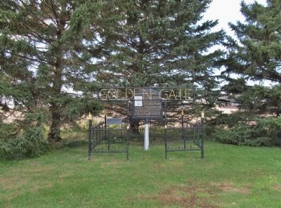
Golden Gate
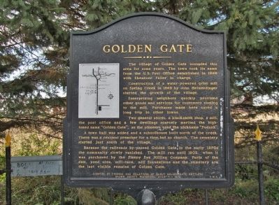
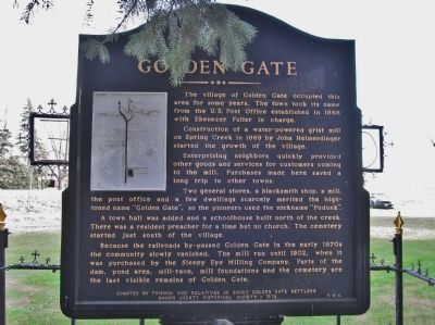
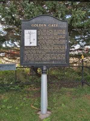
The village of Golden Gate occupied this area for some years. The town took its name from the U.S. Post Office established in 1868 with Ebenezer Fuller in charge.
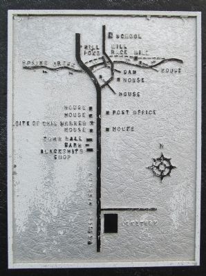
Construction of a water-powered grist mill on Spring Creek in 1869 by John Heimerdinger started the growth of the village.
Enterprising neighbors quickly provided other goods and services for customers coming to the mill. Purchases made here saved a long trip to other towns.
Two general stores, a blacksmith shop, a mill, the post office and a few dwellings scarcely merited the high-toned name "Golden Gate", so the pioneers used the nickname "Podunk".
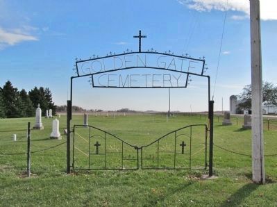
A town hall was added and a schoolhouse built north of the creek. There was a resident preacher for a time but no church. The cemetery started just south of the village.
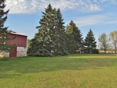
Because the railroads by-passed Golden Gate in the early 1870s the community slowly vanished. The mill ran until 1902, when it was purchased by the Sleepy Eye Milling Company. Parts of the dam, pond area, mill-race, mill foundations and the cemetery are the last visible remains of Golden Gate.
Brown County Historical Society - 1978 P.W.K.
Erected 1978 by friends and relatives of early Golden Gate settlers and the Brown County Historical Society.
Topics and series. This historical marker is listed in this topic list: Settlements & Settlers. In addition, it is included in the Postal Mail and Philately series list. A significant historical year for this entry is 1868.
Location. 44° 23.716′ N, 94° 43.533′ W. Marker is near Sleepy Eye, Minnesota, in Brown County. Marker is on State Highway 4, 0.3 miles north of 295th Street, on the left when traveling north. Marker is approximately 6 miles north of Sleepy Eye. Touch for map. Marker is in this post office area: Sleepy Eye MN 56085, United States of America. Touch for directions.
Other nearby markers. At least 8 other markers are within 4 miles of this marker, measured as the crow flies. Golden Gate Mill Stones (a few steps from this marker); Joseph LaFramboise - (approx. 3.9 miles away); To the Memory of Hazen Mooers (approx. 3.9 miles away); Eliza Müller State Monument (approx. 4 miles away); Captain John S. Marsh State Monument (approx. 4 miles away); Chief Mou-Zoo-Mau-Nee State Monument (approx. 4 miles away); Officers' Quarters—B (approx. 4 miles away); A New Deal for Fort Ridgely State Park (approx. 4 miles away).
Also see . . . Historic Map Works. Home Township, Sleepy Eye, Goldengate historic 1886 map. (Submitted on December 31, 2013.)
Credits. This page was last revised on October 21, 2020. It was originally submitted on December 31, 2013, by Keith L of Wisconsin Rapids, Wisconsin. This page has been viewed 1,573 times since then and 153 times this year. Photos: 1, 2, 3, 4, 5, 6, 7. submitted on December 31, 2013, by Keith L of Wisconsin Rapids, Wisconsin.
