Kula in Maui County, Hawaii — Hawaiian Island Archipelago (Pacific Ocean)
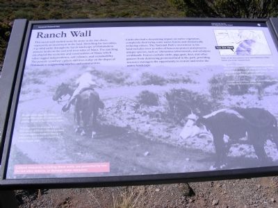
Ranch Wall
Haleakala National Park
Photographed by Don Morfe, November 6, 2008
1. Ranch Wall Marker
Cattle also had a devastating impact on native vegetation, completely destroying some native forests and dramatically reducing others. The National Park’s investment in the land includes over 30 miles of fences to protect and preserve unique species, such as “ahinanima (silversword), and subalpine scrublands. Fences exclude cattle, pigs, goat, deer, and other grazers from destroying protected land in the park, providing resource managers the opportunity to restore and revive the native landscape.
By 1960 more than two million acres in Hawaii were used for cattle grazing, mostly in the cooler uplands. Whether ranch wall or park fence, boundaries
this page online
The trail is dangerous…when you have cattle like that, some of those sharp turns and steep banks, and it drops off and all that loose gravel…you don’t know what is going to happen. Retired ranch foreman Johnny Sakamoto, describing the cattle drive down Halemau’u Trail.
Erected by National Park Service-United States Department of the Interior.
Topics. This historical marker is listed in these topic lists: Animals • Industry & Commerce. A significant historical year for this entry is 1960.
Location. 20° 44.64′ N, 156° 13.794′ W. Marker is in Kula, Hawaii, in Maui County. It is on Crater Road. The marker is located at the Leleiwi Overlook. Touch for map. Marker is in this post office area: Kula HI 96790, United States of America. Touch for directions.

Regionally, this marker is in Upcountry Maui. Globally, it is in North America, in Polynesia, in the Pacific Ocean, in North Pacific, on the Pacific Rim, in the Western Hemisphere, in the Western World, and in the Anglosphere.
Other nearby markers. At
Photographed by Don Morfe, November 6, 2008
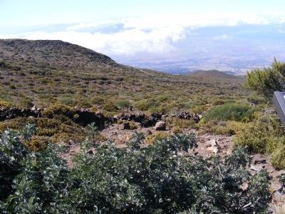
2. Ranch wall made of stone-corner of marker shown in the photo
Photographed by Don Morfe, November 6, 2008
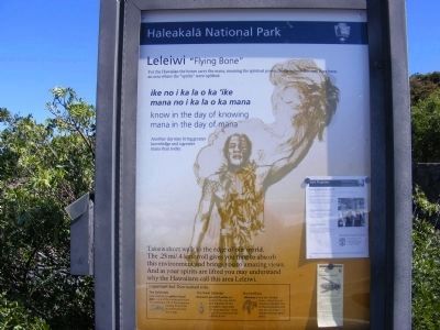
3. Leleiwi "Flying Bone"-marker at beginning of trail
This marker is near the Ranch Wall marker
Photographed by Don Morfe, November 6, 2008
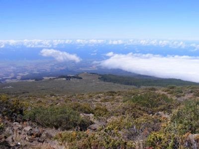
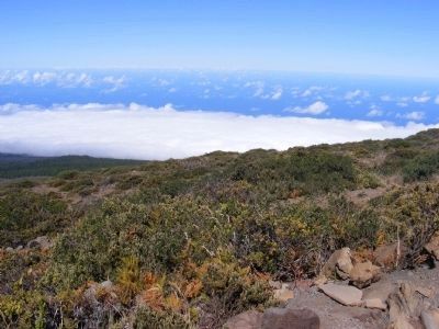
4. Ranch Wall and distant pastures
Photographed by Don Morfe, November 6, 2008
5. Ranch Wall high up in the clouds
Credits. This page was last revised on June 16, 2016. It was originally submitted on February 15, 2014, by Don Morfe of Baltimore, Maryland. This page has been viewed 810 times since then and 24 times this year. Photos: 1, 2, 3, 4, 5. submitted on February 15, 2014, by Don Morfe of Baltimore, Maryland. • Bill Pfingsten was the editor who published this page.
