Roswell in Chaves County, New Mexico — The American Mountains (Southwest)
The Iron Cross
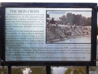
During World War II a prisoner of war camp was established by the War Department near Orchard Park southeast of Roswell, which housed some 4800 German prisoners of war. On January 1, 1943, the first prisoners arrived there from the “Afrikacorps”, Rommel’s men from the 8th Army.
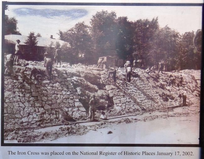
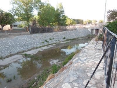
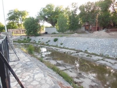
From 1943 to 1946, during the incarceration of these POWs, the men worked as field hands on the many farms in Chaves County, as well as in the Artesia and Mayhill areas. In 1943 a 50-man detail worked on a flood-control project in Roswell by riprapping or laying rocks on the Spring River banks.
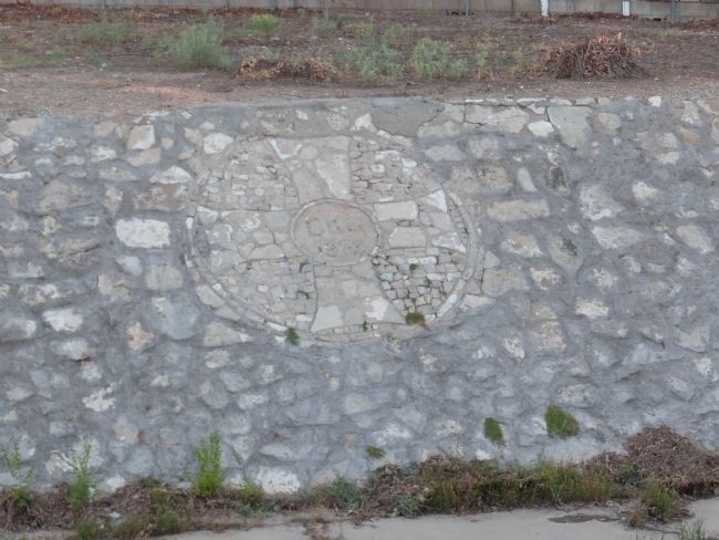
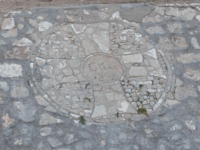
On the north bank between Pennsylvania and Kentucky Avenues the POWs used different size rocks to make an iron cross on the bank. Some Roswell citizens were incensed by this and poured five yards of concrete over the POWs handiwork. The concrete washed away over the years, and the Iron Cross is again clearly visible from this point.
Erected 2002 by Historic Preservation Committee, Historical Society for Southeast New Mexico, Inc.
Topics. This historical marker is listed in this topic list: War, World II. A significant historical month for this entry is January 1948.
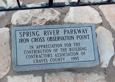
Location. 33° 24.211′ N, 104° 31.589′ W. Marker is in Roswell, New Mexico, in Chaves County. Marker can be reached from West 10th Street, 0.1 miles west of North Pennsylvania Avenue. The marker is near the northwest corner of a large concrete deck overlooking Spring River, known as the Spring River Observation Point. This is a small public plaza at the northwest corner of the West 10th Street and North Pennsylvania Avenue intersection. Touch for map. Marker is in this post office area: Roswell NM 88201, United States of America. Touch for directions.
Other nearby markers. At least 8 other markers are within walking distance of this marker. De Bremond Athletic Field (within shouting distance of this marker); Dr. Robert Hutchings Goddard (approx. 0.2 miles away); Roswell and the New Deal (approx. 0.4 miles away); Continental Oil Company Station 1 (approx. half a mile away); Roswell's Military Institutes (approx. half a mile away); Lea Hall (approx. half a mile away); N.M. 200th Coast Artillery AA Regt. (approx. half a mile away); Chaves County Gulf War Monument (approx. half a mile away). Touch for a list and map of all markers in Roswell.
More about this marker. It is an engraved silver metal placard, permanently attached to the river fence railing, about waist high. It is positioned directly across Spring River from the original Iron Cross, now clearly visible in the stonework wall lining the river.
Also see . . . Iron Cross built by German prisoners during WWII.
About 4800 prisoners of war were housed in a camp from 1943 to 1946. (Submitted on May 8, 2014, by Cosmos Mariner of Cape Canaveral, Florida.)
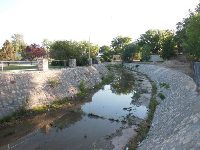
Photographed By Cosmos Mariner, June 9, 2013
8. The Iron Cross Observation Point
Looking across Spring River from North Pennsylvania Avenue toward the Observation Point. The marker is on the fence railing (left side) and the Iron Cross is embedded in the river bank rock work (right side). Both are difficult to see from this perspective.
Credits. This page was last revised on December 6, 2021. It was originally submitted on April 3, 2014, by Cosmos Mariner of Cape Canaveral, Florida. This page has been viewed 1,816 times since then and 65 times this year. Photos: 1, 2, 3, 4, 5, 6, 7, 8. submitted on April 3, 2014, by Cosmos Mariner of Cape Canaveral, Florida. • Bill Pfingsten was the editor who published this page.
