Hackberry in Mohave County, Arizona — The American Mountains (Southwest)
A Brief History of Hackberry
Photographed by Michael Kindig, May 18, 2003
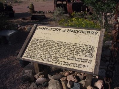
1. A Brief History of Hackberry Marker
When the railroad arrived in 1881, the "town moved down," establishing itself on both sides of the Truxton Wash. The town's livelihood then shifted from mining to the railroad, and it became an important shipping center for sheep and cattle.
The water tank is a reminder of the town's former importance as a watering stop for the steam locomotives, before they were replaced by the diesel in the early 1950's.
The school built in 1917, closed in 1994. Other notable landmarks are the cemetery and an old miner's cabin.
Topics. This historical marker is listed in these topic lists: Industry & Commerce • Settlements & Settlers. A significant historical year for this entry is 1881.
Location. 35° 22.489′ N, 113° 43.355′ W. Marker is in Hackberry, Arizona, in Mohave County. It can be reached from East Highway 66 (U.S. 66), on the right when traveling west.
this page online

Regionally, this marker is in the Colorado River Valley. It is also in the American Southwest. Globally, it is in North America, the Western Hemisphere, the Western World, and the Anglosphere. Historically, it finds itself in what was once New Spain and also Mexico’s Alta California.
Photographed by Michael Kindig, May 18, 2003
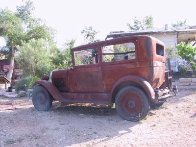
2. Vintage Car
Marker is located in front of the tree.
Photographed by Michael Kindig, May 18, 2003
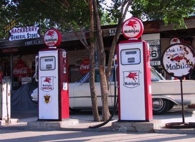
3. Fuel Pumps
Photographed by Michael Kindig, May 18, 2003
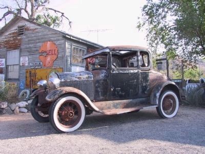
4. Vintage Car
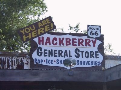
Photographed by Michael Kindig, May 18, 2003
5. Hackberry General Store
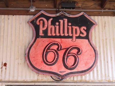
Photographed by Michael Kindig, May 18, 2003
6. Vintage Phillips 66 Sign
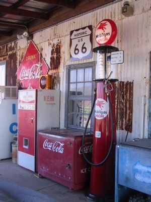
Photographed by Michael Kindig, May 18, 2003
7. Hackberry General Store
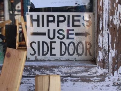
Photographed by Michael Kindig, May 18, 2003
8. "Courtesy Sign"
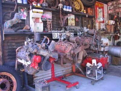
Photographed by Michael Kindig, May 18, 2003
9. Hackberry Garage
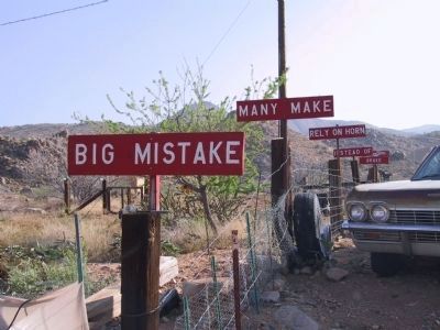
Photographed by Michael Kindig, May 18, 2003
10. Roadside Jingle Signs
Credits. This page was last revised on June 16, 2016. It was originally submitted on April 9, 2014, by Michael Kindig of Elk Grove, California. This page has been viewed 1,359 times since then and 69 times this year. Photos: 1, 2, 3, 4, 5, 6, 7, 8, 9, 10. submitted on April 9, 2014, by Michael Kindig of Elk Grove, California. • Bill Pfingsten was the editor who published this page.
