Holbrook in Navajo County, Arizona — The American Mountains (Southwest)
Early Explorers
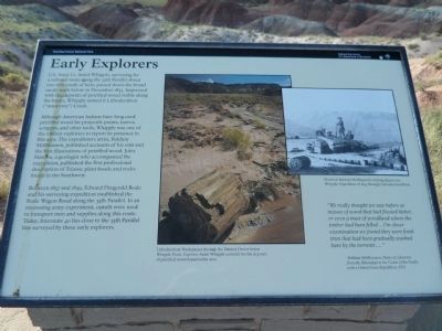
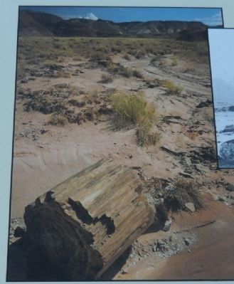
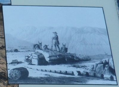
Although American Indians have long used petrified wood for projectile points, knives, scrapers, and other tools, Whipple was one of the earliest explorers to report its presence in this area. The expedition’s artist, Balduin Mollhausen, published accounts of his visit and the first illustrations of petrified wood. Jules Marcou, a geologist who accompanied the expedition, published the first professional description of Triassic plant fossils and rocks found in the Southwest.
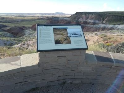
Between 1857 and 1859, Edward Fitzgerald Beale and his surveying expedition established the Beale Wagon Road along the 35th Parallel. In an interesting army experiment, camels were used to transport men and supplies along this route. Today, Interstate 40 lies close to the 35th Parallel line surveyed by these early explorers.
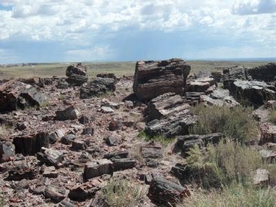
“We really thought we saw before us masses of wood that had floated hither, or even a tract of woodland where the timber had been felled…On closer examination we found they were fossil trees that had been gradually washed bare by the torrents…”
-Balduin Mollhausen, Diary of a Journey from the Mississippi to the Coasts of the Pacific with a United States Expedition, 1853.
Erected by Petrified National Forest Services.
Topics. This historical marker is listed in these topic lists: Exploration • Notable Places. A significant historical month for this entry is December 1853.
Location. 35° 3.997′ N, 109° 47.833′ W. Marker is in Holbrook, Arizona, in Navajo County. Marker can be reached from Petrified Forest Road, on the left when traveling east. Touch for map. Marker is at or near this postal address: Petrified Forest Road, Holbrook AZ 86025, United States of America. Touch for directions.
Other nearby markers. At least 8 other markers are within 2 miles of this marker, measured as the crow flies. A Gap in the Geologic Record (approx. ¼ mile away); The Painted Desert (approx. 0.4 miles away); Painted Desert Community Complex Historic District (approx. 0.9 miles away); A Painted Park (approx. one mile away); Desert Vistas (approx. 1.1 miles away); Highway of Dreams (approx. 1.2 miles away); Over the Edge (approx. 1.3 miles away); Painted Desert Inn (approx. 1.3 miles away). Touch for a list and map of all markers in Holbrook.
Credits. This page was last revised on June 16, 2016. It was originally submitted on September 29, 2013, by Denise Boose of Tehachapi, California. This page has been viewed 865 times since then and 68 times this year. Last updated on April 9, 2014, by Michael Kindig of Elk Grove, California. Photos: 1, 2, 3, 4, 5, 6, 7. submitted on September 29, 2013, by Denise Boose of Tehachapi, California. • Syd Whittle was the editor who published this page.
