Hockessin in New Castle County, Delaware — The American Northeast (Mid-Atlantic)
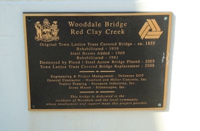
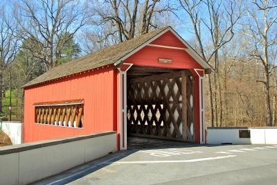
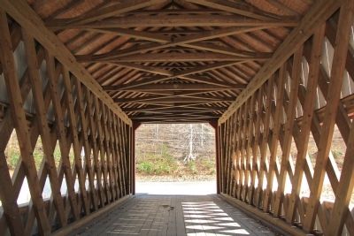
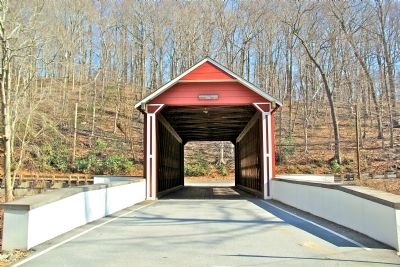
Wooddale Bridge
Red Clay Creek
Topics and series. This historical marker is listed in this topic list: Bridges & Viaducts. In addition, it is included in the Covered Bridges series list. A significant historical year for this entry is 1850.
Location. 39° 45.949′ N, 75° 38.204′ W. Marker is in Hockessin, Delaware, in New Castle County. Marker is at the intersection of Foxhill Lane and W. Rolling Mill Rd, on the right when traveling north on Foxhill Lane. Touch for map. Marker is in this post office area: Hockessin DE 19707, United States of America. Touch for directions.
Other nearby markers. At least 8 other markers are within 2 miles of this marker, measured as the crow flies. St. Mary's Church (approx. 1.2 miles away); Fells Mill Historic District (approx. 1.3 miles away); Camp DuPont (approx. 1.4 miles away); Brandywine Springs (approx. 1˝ miles away); Former Site of the Delcastle Prison Farm (approx. 1.8 miles away); Greenbank Mill (approx. 1.8 miles away); What Is This? (approx. 1.9 miles away); How a Steam Locomotive Works (approx. 1.9 miles away).
More about this marker. The marker is attached to a wall that adjoins the southeast side of the bridge.
Also see . . . Wooddale Covered Bridge Reconstruction Project. (Submitted on April 10, 2014, by Stephen J Duncan of Wilmington, Delaware.)
Credits. This page was last revised on June 16, 2016. It was originally submitted on April 10, 2014, by Stephen J Duncan of Wilmington, Delaware. This page has been viewed 600 times since then and 38 times this year. Last updated on April 15, 2014, by Stephen J Duncan of Wilmington, Delaware. Photos: 1, 2, 3, 4. submitted on April 10, 2014, by Stephen J Duncan of Wilmington, Delaware. • Bill Pfingsten was the editor who published this page.


