Staats Mill in Jackson County, West Virginia — The American South (Appalachia)
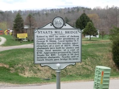
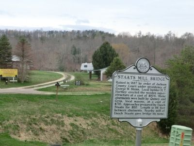
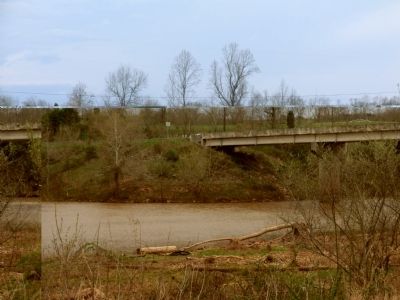
Staats Mill Bridge
Erected 1980 by West Virginia Department of Culture and History.
Topics and series. This historical marker is listed in this topic list: Bridges & Viaducts. In addition, it is included in the West Virginia Archives and History series list. A significant historical year for this entry is 1887.
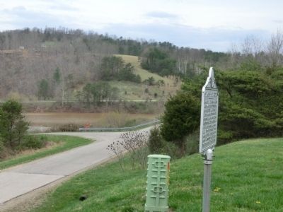
Location. 38° 44.502′ N, 81° 37.416′ W. Marker is in Staats Mill, West Virginia, in Jackson County. Marker is on Staats Mill Road (County Route 36) east of Tug and Bear Fork, on the left when traveling east. The marker is on the parking lot of the Staats Mill Trading Company. Touch for map. Marker is at or near this postal address: 5445 Staats Mill Road, Ripley WV 25271, United States of America. Touch for directions.
Other nearby markers. At least 8 other markers are within 8 miles of this marker, measured as the crow flies. Kenna (approx. 4.9 miles away); The Casto Hole (approx. 5 miles away); Staats Mill Covered Bridge (approx. 5 miles away); Ripley (approx. 7.1 miles away); Jackson County Veterans Memorial Park (approx. 7.2 miles away); Raid on Ripley (approx. 7.2 miles away); a different marker also named Ripley (approx. 7.2 miles away); a different marker also named Ripley (approx. 7.2 miles away).
Credits. This page was last revised on June 16, 2016. It was originally submitted on May 12, 2014, by Don Morfe of Baltimore, Maryland. This page has been viewed 382 times since then and 11 times this year. Photos: 1, 2, 3, 4. submitted on May 12, 2014, by Don Morfe of Baltimore, Maryland. • Bill Pfingsten was the editor who published this page.


