Tierra Amarilla in Rio Arriba County, New Mexico — The American Mountains (Southwest)
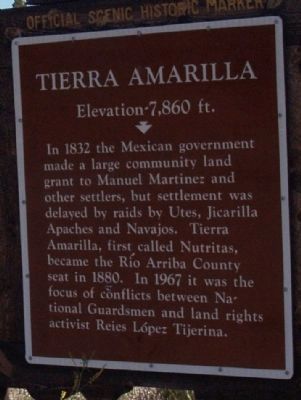
Tierra Amarilla
Elevation 7,860 ft.
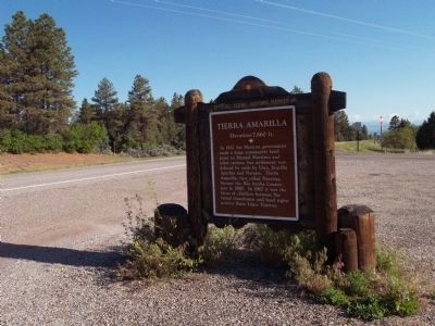
In 1832 the Mexican government made a large community land grant to Manuel Martinez and other settlers but settlement was delayed by raids by Utes, Jicarilla Apaches and Navajos. Tierra Amarilla, first called Nutritas, became the Rio Arriba County Seat in 1880. In 1967 in was the focus of conflicts between National Guardsmen and land rights activist Reies Lopez Tijerina
Topics. This historical marker is listed in this topic list: Settlements & Settlers. A significant historical year for this entry is 1832.
Location. 36° 40.831′ N, 106° 0′ W. Marker is in Tierra Amarilla, New Mexico, in Rio Arriba County. Marker is at the intersection of Highway 84/64 (State Road 84) and Highway 162 (State Road 162) on Highway 84/64. Touch for map. Marker is in this post office area: Tierra Amarilla NM 87575, United States of America. Touch for directions.
Other nearby markers. At least 2 other markers are within 4 miles of this marker, measured as the crow flies. Rio Grande Gorge Bridge (approx. 3.1 miles away); Arroyo Aguaje Bridge (approx. 3.8 miles away).
Credits. This page was last revised on June 16, 2016. It was originally submitted on June 9, 2014, by Maribeth Robison of Moriarty, New Mexico. This page has been viewed 427 times since then and 9 times this year. Photos: 1, 2. submitted on June 9, 2014, by Maribeth Robison of Moriarty, New Mexico. • Syd Whittle was the editor who published this page.

