Chappell Hill in Washington County, Texas — The American South (West South Central)
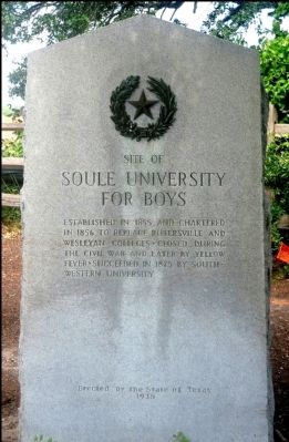
Site of Soule University for Boys
Erected 1936 by State of Texas. (Marker Number 8419.)
Topics and series. This historical marker is listed in this topic list: Education. In addition, it is included in the Texas 1936 Centennial Markers and Monuments series list. A significant historical year for this entry is 1855.
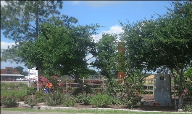
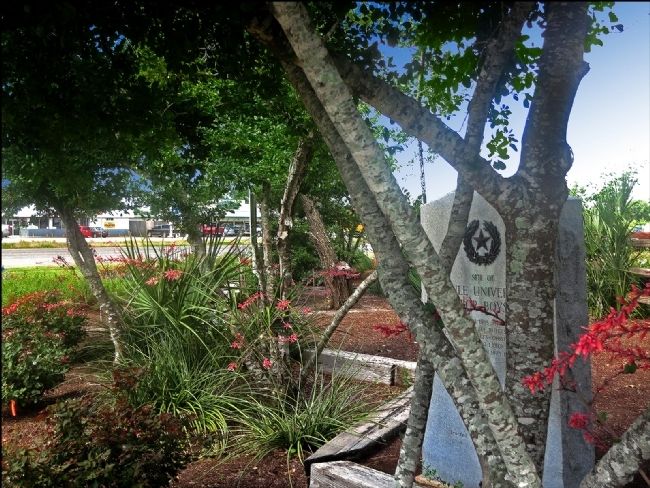
Location. 30° 8.141′ N, 96° 15.429′ W. Marker is in Chappell Hill, Texas, in Washington County. Marker is at the intersection of Main Street (Farm to Market Road 1155) and U.S. 290, on the right when traveling south on Main Street. Touch for map. Marker is in this post office area: Chappell Hill TX 77426, United States of America. Touch for directions.
Other nearby markers. At least 8 other markers are within walking distance of this marker. Chappell Hill (a few steps from this marker); Providence Baptist Church (approx. 0.3 miles away); Old Rock Store (approx. 0.4 miles away); Chappell Hill Female College Bell (approx. 0.4 miles away); Site of Chappell Hill College (approx. 0.4 miles away); Farmers State Bank and Reinstein Store (approx. half a mile away); Methodist Church (approx. half a mile away); Lockhart Plantation (approx. 0.8 miles away). Touch for a list and map of all markers in Chappell Hill.
More about this marker. Many of this style marker were erected in 1936 to celebrate the 100th anniversary Texas independence from Mexico
Credits. This page was last revised on October 20, 2016. It was originally submitted on June 9, 2014, by Jim Evans of Houston, Texas. This page has been viewed 680 times since then and 30 times this year. Photos: 1, 2, 3. submitted on June 9, 2014, by Jim Evans of Houston, Texas. • Bernard Fisher was the editor who published this page.


