Celina in Clay County, Tennessee — The American South (East South Central)
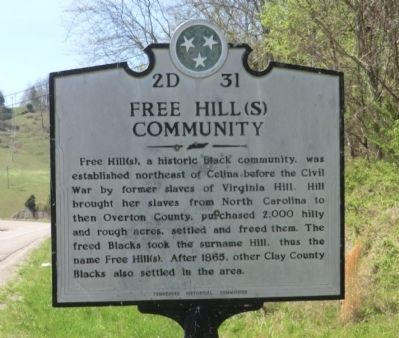
Free Hill(s) Community
Erected by Tennessee Historical Commission. (Marker Number 2D 31.)
Topics and series. This historical marker is listed in this topic list: African Americans. In addition, it is included in the Tennessee Historical Commission series list. A significant historical year for this entry is 1865.
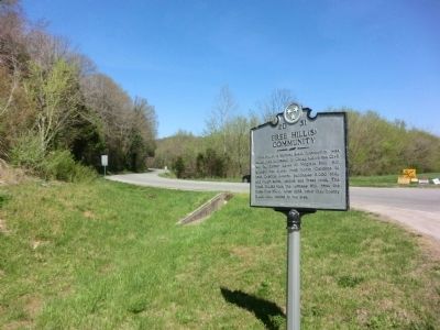
Location. 36° 32.652′ N, 85° 28.416′ W. Marker is in Celina, Tennessee, in Clay County. Marker is on Burkesville Highway (SR 53). Touch for map. Marker is in this post office area: Celina TN 38551, United States of America. Touch for directions.
Other nearby markers. At least 8 other markers are within 2 miles of this marker, measured as the crow flies. Dale Hollow Dam / Dale Hollow Powerhouse (approx. 1.3 miles away); Dale Hollow Dam (approx. 1.3 miles away); Donaldson Cemetery (approx. 1.7 miles away); History of the Webb Cemetery (approx. 1.7 miles away); Hugh Roberts (approx. 1.7 miles away); William Hull Building (approx. 1.9 miles away); Clay County Veterans Monument (approx. 1.9 miles away); Clay County Veterans Memorial (approx. 1.9 miles away). Touch for a list and map of all markers in Celina.
Credits. This page was last revised on January 20, 2020. It was originally submitted on June 9, 2014, by Don Morfe of Baltimore, Maryland. This page has been viewed 790 times since then and 72 times this year. Photos: 1, 2. submitted on June 9, 2014, by Don Morfe of Baltimore, Maryland. • Bill Pfingsten was the editor who published this page.

