Rouses Point in Clinton County, New York — The American Northeast (Mid-Atlantic)
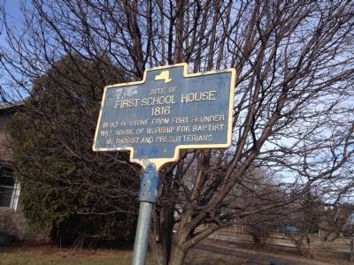
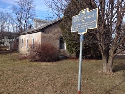
Site of First School House
1816
Topics. This historical marker is listed in these topic lists: Churches & Religion • Education.
Location. 44° 58.974′ N, 73° 21.91′ W. Marker is in Rouses Point, New York, in Clinton County. Marker is on Champlain Street (U.S. 11) 0.1 miles west of Lake Street, on the right when traveling west. Touch for map. Marker is in this post office area: Rouses Point NY 12979, United States of America. Touch for directions.
Other nearby markers. At least 8 other markers are within 3 miles of this marker, measured as the crow flies. David Mayo's Sail Ferry (about 600 feet away, measured in a direct line); Ezra Thurber’s Home (approx. ¼ mile away); Site of Joel Smith's Home (approx. 0.4 miles away); Working The Lake (approx. ¾ mile away); Site of Delaware and Hudson Railroad Station (approx. 0.9 miles away); Fort Montgomery (approx. 1.2 miles away); The "White House" (approx. 2.7 miles away); Point au Fer Historic Site (approx. 2.8 miles away). Touch for a list and map of all markers in Rouses Point.
Credits. This page was last revised on November 12, 2023. It was originally submitted on June 15, 2014, by Kevin Craft of Bedford, Quebec. This page has been viewed 638 times since then and 20 times this year. Last updated on October 21, 2023, by Carl Gordon Moore Jr. of North East, Maryland. Photos: 1, 2. submitted on June 15, 2014, by Kevin Craft of Bedford, Quebec. • Michael Herrick was the editor who published this page.

