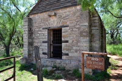
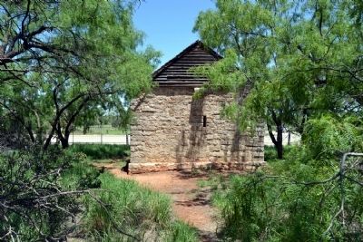
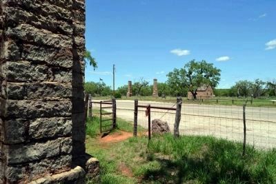
Near Abilene in Jones County, Texas — The American South (West South Central)
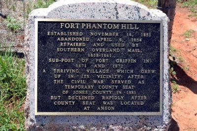
Fort Phantom Hill
Abandoned April 6, 1854
Repaired and Used by Southern Overland Mail, 1858-1861
Sub-Post of Fort Griffin in 1871 and 1872
A thriving village which grew up in its vicinity after the Civil War served as temporary county seat of Jones County in 1881 but declined rapidly after county seat was located at Anson
Erected 1936 by State of Texas. (Marker Number 2004.)
Topics and series. This historical marker is listed in these topic lists: Communications • Forts and Castles • Settlements & Settlers. In addition, it is included in the Butterfield Overland Mail, and the Texas 1936 Centennial Markers and Monuments series lists. A significant historical date for this entry is April 6, 1853.
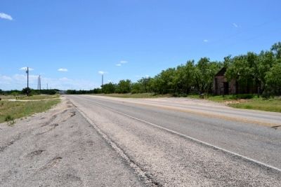
Location. 32° 38.546′ N, 99° 40.768′ W. Marker is near Abilene, Texas, in Jones County. Marker is on Farm to Market Road 600, 2 miles north of Farm to Market Road 1082, on the left when traveling north. Touch for map. Marker is in this post office area: Abilene TX 79601, United States of America. Touch for directions.
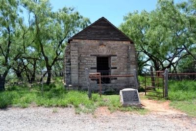
Other nearby markers. At least 8 other markers are within 12 miles of this marker, measured as the crow flies. A different marker also named Fort Phantom Hill (within shouting distance of this marker); Lake Fort Phantom Hill Parks - Johnson Park (approx. 2.1 miles away); Round Mound Cemetery (approx. 5.2 miles away); Butterfield Trail (approx. 8.8 miles away); Lueders Cemetery (approx. 9.6 miles away); The Cable Tool Oil Field (approx. 10.1 miles away); Smith's Station (approx. 10.1 miles away); Butterfield Overland Mail (approx. 11.4 miles away). Touch for a list and map of all markers in Abilene.
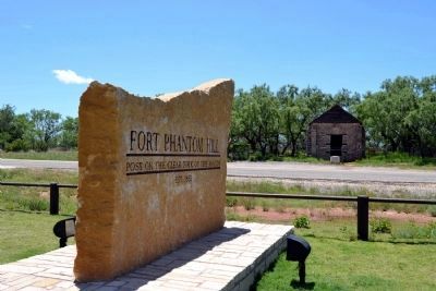
More about this marker. In 1936 the State of Texas, as part of the celebrations to commemorate the centennial of Texas independence, erected a bronze tablet marker at the site for Fort Phantom Hill. Some time before 1971 the bronze tablet of the original marker was stolen, damaged, or removed with the stone base remaining. In 1971 the Texas Historical Commission installed a new tablet on the stone base which said:
Fort Phantom Hill
Established November 14, 1851, as unit in chain of forts from Red River to Rio Grande, to defend frontier settlers and west-bound 49ers. Officially "Post on Clear Fork of the Brazos", everyday name became "Phantom Hill," either from prevalent mirages or sighting of ghostly Indian in moonlight. Abandoned by U. S. Army on April 6, 1854, fort served in 1858-61 asstage stand for Southern Overland Mail. In 1871-72, the army again used this as a sub-post of Fort Griffin, 40 miles northeast. The adjacent village was temporary county seat when Jones County was organized in 1881.
Erected by the State of Texas, 1971.
Once again, some time before 2011 the tablet of the marker was stolen, damaged, or removed with the stone base remaining. As part of the visitor improvements to Fort Phantom Hill in 2012, the Fort Phantom Hill Foundation and the Texas Historical Commission installed a new tablet on the original stone base of the 1936 Centennial marker. The text of the inscription on the marker today is the same text that was present on the marker in 1936.
Also see . . .
1. Fort Phantom Hill - Fort Phantom Foundation. Official website of the Fort Phantom Foundation with abundant information and photographs on the fort. (Submitted on June 23, 2014.)
2. Fort Phantom Hill - The Handbook of Texas. From the Texas State Historical Association’s “The Handbook of Texas”. (Submitted on June 23, 2014.)
Credits. This page was last revised on June 16, 2016. It was originally submitted on June 23, 2014, by Duane Hall of Abilene, Texas. This page has been viewed 630 times since then and 29 times this year. Photos: 1, 2, 3, 4, 5, 6, 7. submitted on June 23, 2014, by Duane Hall of Abilene, Texas.
