Simpson in Taylor County, West Virginia — The American South (Appalachia)
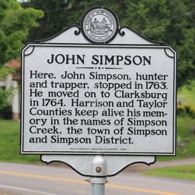
John Simpson
Erected 2009 by West Virginia Archives and History.
Topics and series. This historical marker is listed in this topic list: Settlements & Settlers. In addition, it is included in the West Virginia Archives and History series list. A significant historical year for this entry is 1763.
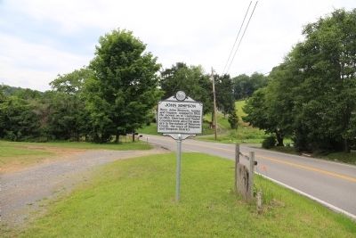
Location. 39° 16.11′ N, 80° 5.2′ W. Marker is in Simpson, West Virginia, in Taylor County. Marker is on Simpson Road (County Route 13) near the Simpson Community Park, on the right when traveling east. Touch for map. Marker is in this post office area: Simpson WV 26435, United States of America. Touch for directions.
Other nearby markers. At least 8 other markers are within 5 miles of this marker, measured as the crow flies. West Virginia College (approx. 1.7 miles away); Flemington (approx. 2.4 miles away); Webster (approx. 2.9 miles away); Ann Reeves Jarvis (approx. 2.9 miles away); Anna Jarvis' Birthplace (approx. 2.9 miles away); Barbour County / Taylor County (approx. 3.7 miles away); Tygart Dam (approx. 4.3 miles away); The American Chestnut (approx. 4.3 miles away).
Related markers. Click here for a list of markers that are related to this marker. This is both John Simpson markers.
Credits. This page was last revised on June 3, 2021. It was originally submitted on June 29, 2014, by J. J. Prats of Powell, Ohio. This page has been viewed 559 times since then and 49 times this year. Photos: 1, 2. submitted on June 29, 2014, by J. J. Prats of Powell, Ohio.

