Near Albright in Preston County, West Virginia — The American South (Appalachia)
Imagining an Iron Furnace in Operation
— The River of Promise Trail —
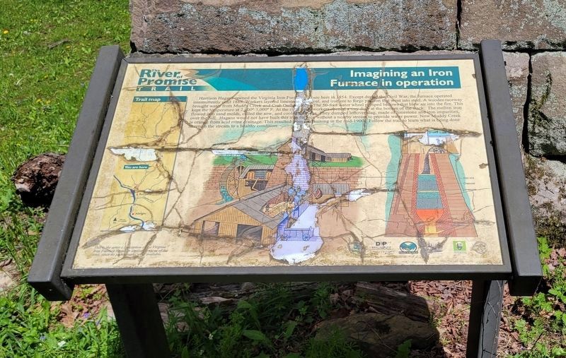
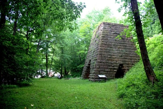
Workers layered limestone, charcoal, and iron ore to forge pig iron that went into steel. A wooden raceway brought water from Muddy Creek and Crab Orchard Run. The 50-food water wheel pumped bellows that blew air into the fire. This kept temperatures at 2600° to 3000° F. At the right time, workers opened a tiny door at the bottom of the stack. The molten iron flowed into sand molds, called the sow, and cooled into pigs. They dumped leftover slag, made of limestone and iron impurities, over the hill.
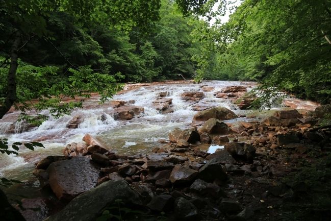
Hagans would not have built this iron furnace without a nearby stream to provide water power. Now Muddy Creek is orange from acid mide drainage. This resulted from coal mining in the mid-1900s. Follow the trail to learn what is being done to return the stream to a healthy condition.
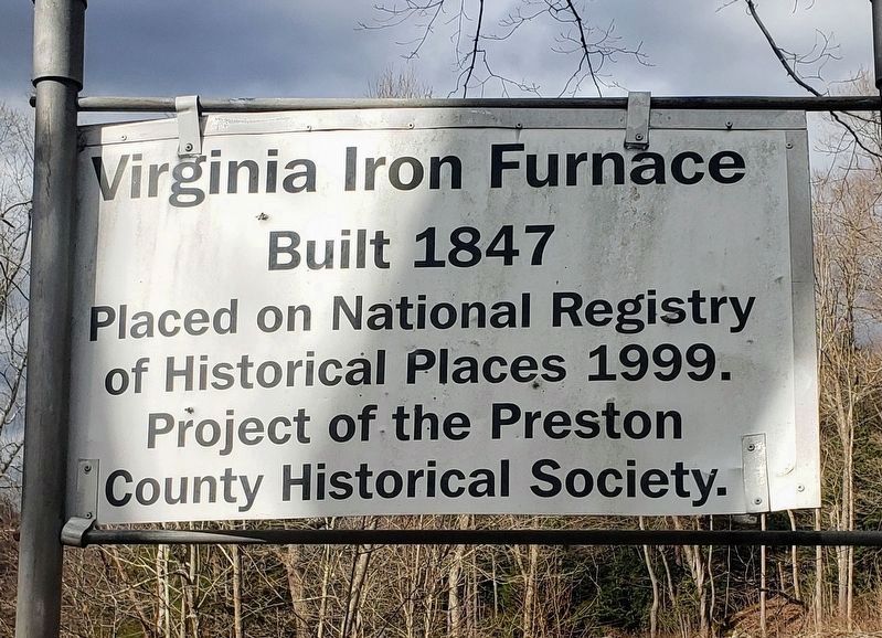
Erected by the Preston County Historical Society.
Topics and series. This historical marker is listed in this topic list: Industry & Commerce. In addition, it is included in the Appalachian Iron Furnaces series list. A significant historical year for this entry is 1854.
Location. 39° 31.752′ N, 79° 37.99′ W. Marker is near Albright, West Virginia, in Preston County. Marker is on North Preston Highway (West Virginia Route 26) 2.7 miles north of Albright, on the left when traveling north. It is 9½ miles south of the Route 26 exit on Interstate 68. Touch for map. Marker is in this post office area: Albright WV 26519, United States of America. Touch for directions.
Other nearby markers. At least 8 other markers are within 5 miles of this marker, measured as the crow flies. Old Iron Furnace (within shouting distance of this marker); Albright / Albright Family (approx. 2˝ miles away); Mt. Moriah Cemetery Veterans (approx. 3.3 miles away); Priests Who Served The Catholic Church (approx. 4.7 miles away); Japanese tigertail spruce (approx. 4.8 miles away); Dunkard Bottom (approx. 4.8 miles away); Norway maple (approx. 4.9 miles away); White Ash (approx. 4.9 miles away). Touch for a list and map of all markers in Albright.
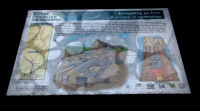
More about this marker. Marker contains two color drawings by Teresa Hedrick Neal captioned, “this is the artist’s conception of the Virginia Iron Furnace based on similar furnaces of the time, since no photographs were available.” Click on the image for Photograph No. 1 to zoom in to view the drawings. The center drawing shows the wooden buildings that would be attached to the stone furnace. The drawing to the right is a cross-section of the furnace. To the left is a map of the River of Promise Trail.
Related marker.
Click here for another marker that is related to this marker.
Credits. This page was last revised on April 29, 2024. It was originally submitted on July 6, 2014, by J. J. Prats of Powell, Ohio. This page has been viewed 666 times since then and 50 times this year. Photos: 1. submitted on July 6, 2014, by J. J. Prats of Powell, Ohio. 2. submitted on April 29, 2024, by Bradley Owen of Morgantown, West Virginia. 3, 4. submitted on July 6, 2014, by J. J. Prats of Powell, Ohio. 5. submitted on March 26, 2021, by Bradley Owen of Morgantown, West Virginia.
