Mount Pleasant in Sanpete County, Utah — The American Mountains (Southwest)
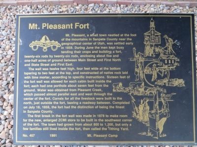
Mt. Pleasant Fort
The wall was twelve feet high, four feet wide at the bottom tapering to two feet at the top, and constructed of native rock laid with lime mortar, according to specific instructions. Sixteen feet of the fort wall was allowed for each cabin built inside the fort; each had one porthole about seven feet from the ground. Water was obtained from Pleasant Creek, which passed almost parallel east and west through the center of the fort. Corrals for all the livestock were built to the north, just outside the fort, leaving a roadway between. Completed on July 18, 1859, the fort had the distinction of being the finest in Sanpete County.
The first break in the fort wall was made in 1878 to make room for the new, enlarged ZCMI store to be built in the southwest corner of the fort. The town had grown from about 800 to 1,200, but only a few families still lived inside the fort, then called the Tithing Yard.
Erected 1991 by Mt. Pleasant Camp , Daughters of Utah Pioneers. (Marker Number 457.)
Topics and series. This historical marker is listed in this topic list: Forts and Castles. In addition, it is included in the Daughters of Utah Pioneers series list. A significant historical month for this entry is July 1854.
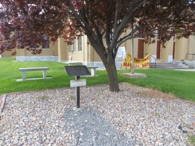
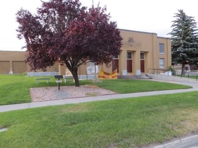
Location. 39° 32.831′ N, 111° 27.307′ W. Marker is in Mount Pleasant, Utah, in Sanpete County. Marker is on North State Street north of Main Street, on the right when traveling north. Touch for map. Marker is in this post office area: Mount Pleasant UT 84647, United States of America. Touch for directions.
Other nearby markers. At least 8 other markers are within 6 miles of this marker, measured as the crow flies. Pioneer Monument (within shouting distance of this marker); The Liberal Hall (about 500 feet away, measured in a direct line); Last Peace Treaty (approx. 0.2 miles away); William Stuart Seeley House (approx. 0.2 miles away); Spring City Pioneer Cemetery (approx. 5 miles away); Behunin-Beck House (approx. 5.1 miles away); Spring City (approx. 5.2 miles away); City Hall (approx. 5.2 miles away). Touch for a list and map of all markers in Mount Pleasant.
Credits. This page was last revised on June 16, 2016. It was originally submitted on July 7, 2014, by Bill Kirchner of Tucson, Arizona. This page has been viewed 554 times since then and 52 times this year. Photos: 1, 2, 3. submitted on July 7, 2014, by Bill Kirchner of Tucson, Arizona. • Syd Whittle was the editor who published this page.


