Fort Plain in Montgomery County, New York — The American Northeast (Mid-Atlantic)
Revolution in the Mohawk Valley
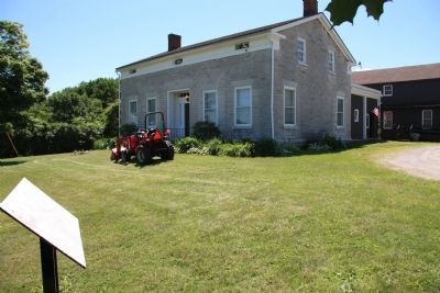
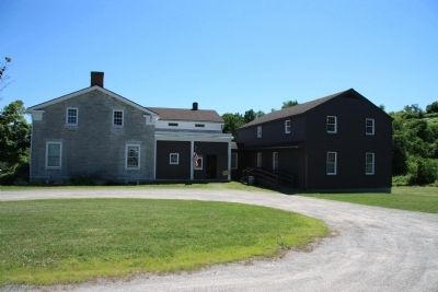
Fort Plain Museum
— Fort Plain —
Inscription.
First Frame of Text: Fort Plain Museum
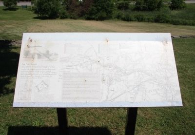
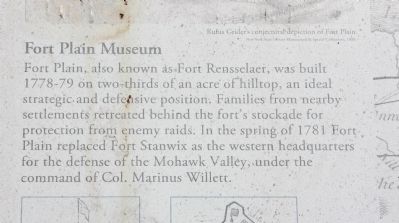
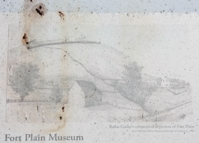
Fort Plain, also known as Fort Rensselaer, was built 1778-79 on two-thirds of an acre of hilltop, an ideal strategic and defensive position. Families from nearby settlements retreated behind the fort's stockade for protection from enemy raids. In the spring of 1781 Fort Plain replaced Fort Stanwix as the western headquarters for the defense of the Mohawk Valley, under the command of Colonel Marinus Willett.
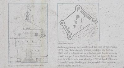
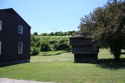
Archeological digs have confirmed the plan of the original 1779 Fort Plain. Willet expanded the fort in 1781 with a redoubt and new buildings to house as many as 600 troops. A new blockhouse designed by Major Jean de Villefranche was added in 1782 to hold 200 men. General George Washington inspected the fort on a tour of the region in 1783.
Second Frame of Text:
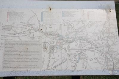
During the American Revolution, almost half of the military actions in New York State occurred along the strategic corridor of the Mohawk Valley. In 1777 British, Native American and Loyalist battalions attacked from the west and north. Defeats at Fort Stanwix and elsewhere forced a British surrender at Saratoga, the war's turning point.
The bloodshed at Oriskany in 1777 was one of many encounters between former neighbors on the battlefield. In this region the Revolution was a civil war that divided families and communities, both European and Native American. Many stayed loyal to the British King and were forced to move, forfeiting their property. The remainder took up arms or struggled to remain neutral.
For seven long years enemy raids terrorized the Mohawk Valley, periodically burning the fertile farms of this "bread basket" of New York. By 1783, the region had been reduced to little more than fortified homesteads, militia posts and abandoned fields.
Explore the many sides of America's revolution for independence. Visit the Revolutionary War Heritage Trail sites of the Mohawk Valley Heritage Corridor.
Revolutionary War Heritage Sites by Regions:
Western Region
1. Shako:wi Oneida Cultural Center, Oneida
2. Fort Stanwix National Monument, Rome
3. Oriskany Battlefield State Historic Site, Oriskany
4. Steuben Memorial State Historic Site, Remsen
5. Oneida County Historical Society, Utica
6. Herkimer County Historical Society, Herkimer
7. Fort Herkimer Church, German Flatts
8. Herkimer Home State Historic Site, Little Falls
9. Indian Castle Church, Danube
Central Region
10. Margaret Reaney Memorial Library, St. Johnsville
11. Nellis Tavern, St. Johnsville 12. Fort
Klock, St. Johnsville
13. Fort Plain Museum, Fort Plain
14. Palatine Church, Town of Palatine
15. Stone Arabia Preservation Society, Stone Arabia
16. Van Alstyne Homestead, Canajoharie
17. Cherry Valley Museum, Cherry Valley
18. Johnstown: Johnson Hall State Historic Site, Battle of Johnstown, Drumm House, Tryon County Courthouse, Fort Johnstown
19. Montgomery Co. History & Archives, Fonda
20. Old Fort Johnson, Fort Johnson
21. Guy Park, Amsterdam
22. Old Stone Fort Museum, Schoharie
23. Palatine House, Schoharie
24. Battle of Flockey, Fultonham
Eastern Region
25. Mabee Farm, Rotterdam Junction
26. Schenectady Stockade, Schenectady
27. Philip Schuyler Country House, Schuylerville
28. Saratoga National Historical Park, Stillwater
29. Van Schaick Mansion, Cohoes
30. Crailo State Historic Site, Rensselaer
31. Albany: Schuyler Mansion State Historic Site, Ten Broeck Mansion
Erected by Heritage New York. (Marker Number 13.)
Topics. This historical marker is listed in these topic lists: Forts and Castles • War, US Revolutionary. A significant historical year for this entry is 1781.
Location. 42° 56.42′ N, 74° 37.802′ W. Marker is in Fort Plain, New York, in Montgomery
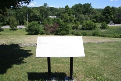
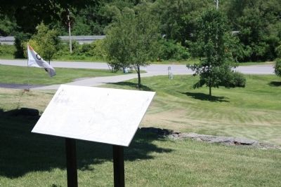
County. Marker is on Road to Old Fort west of Canal Street (New York State Route 5S), on the left when traveling west. This historical marker is located just outside of the Fort Plains Museum, on the top of a secondary hill, directly beneath the hill where the fort was actually situated, and above the roadway that runs through the town of Fort Plains. Touch for map. Marker is in this post office area: Fort Plain NY 13339, United States of America. Touch for directions.
Other nearby markers. At least 8 other markers are within walking distance of this marker. Fort Plain (within shouting distance of this marker); a different marker also named Fort Plain (about 300 feet away, measured in a direct line); Clinton March (about 300 feet away); Fort Plain War Memorial (about 600 feet away); Sand Hill School (approx. 0.2 miles away); Sand Hill (approx. 0.3 miles away); Greene House (approx. 0.6 miles away); Mohawk Town (approx. 0.6 miles away). Touch for a list and map of all markers in Fort Plain.
More about this marker. When I visited this historical marker, in July of 2014, the text and illustrations displayed on the historical marker were significantly faded from excessive exposure to sun light, making the historical marker extremely difficult to read.
Credits. This page was last revised on June 16, 2016. It was originally submitted on July 13, 2014, by Dale K. Benington of Toledo, Ohio. This page has been viewed 724 times since then and 19 times this year. Photos: 1, 2, 3, 4, 5, 6, 7, 8, 9, 10, 11. submitted on July 13, 2014, by Dale K. Benington of Toledo, Ohio.
