
Mammoth in Juab County, Utah — The American Mountains (Southwest)
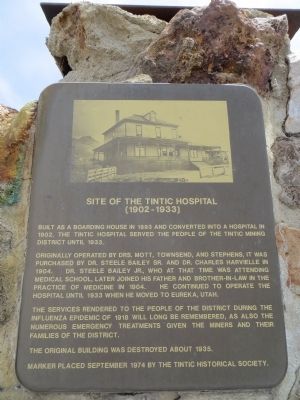
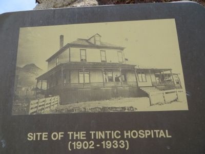
Site of the Tintic Hospital
(1902 - 1933)
Photographed By Bill Kirchner, June 15, 2014
1. Site of the Tintic Hospital Marker
Originally operated by Drs. Mott, Townsend and Stephens, it was purchased by Dr. Steele Bailey Sr. and Dr. Charles Harvielle in 1904. Dr. Steele Bailey Jr., who at that time was attending medical school, later joined his father and brother-in-law in the practice of medicine in 1904. He continued to operate the hospital until 1933 when he moved to Eureka, Utah.
The services rendered to the people of the district during the influenza epidemic of 1918 will long be remembered, as also the numerous emergency treatments given the miners and their families of the district.
The original building was destroyed about 1935.
Erected 1974 by The Tintic Historical Society.
Topics. This historical marker is listed in this topic list: Notable Buildings. A significant historical year for this entry is 1893.
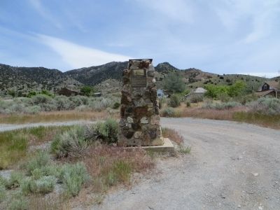
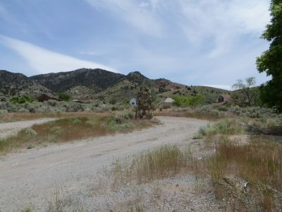
Location. 39° 55.536′ N, 112° 7.615′ W. Marker is in Mammoth, Utah, in Juab County. Marker is at the intersection of Gold Street and Main Street, on the left when traveling south on Gold Street. Marker is on the southeast corner. Touch for map. Marker is in this post office area: Eureka UT 84628, United States of America. Touch for directions.
Other nearby markers. At least 8 other markers are within
this page online
Photographed By Bill Kirchner, June 15, 2014
2. Site of the Tintic Hospital Marker
circa 1930
3. Site of the Tintic Hospital
Photographed By Bill Kirchner, June 15, 2014
4. Site of the Tintic Hospital Marker
Credits. This page was last revised on June 16, 2016. It was originally submitted on July 17, 2014, by Bill Kirchner of Tucson, Arizona. This page has been viewed 455 times since then and 26 times this year. Photos: 1, 2, 3, 4. submitted on July 17, 2014, by Bill Kirchner of Tucson, Arizona. • Syd Whittle was the editor who published this page.

