Manville in Somerset County, New Jersey — The American Northeast (Mid-Atlantic)
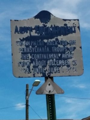
American Revolution Army Encampent
Topics. This historical marker is listed in this topic list: War, US Revolutionary. A significant historical date for this entry is June 1, 1779.
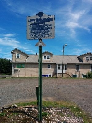
Location. 40° 32.349′ N, 74° 35.626′ W. Marker is in Manville, New Jersey, in Somerset County. Marker is at the intersection of South 9th Avenue and Camplain Road on South 9th Avenue. Touch for map. Marker is in this post office area: Manville NJ 08835, United States of America. Touch for directions.
Other nearby markers. At least 8 other markers are within 2 miles of this marker, measured as the crow flies. Continental Army Encampment (approx. 0.2 miles away); War Memorial (approx. 0.2 miles away); World War II Memorial (approx. 0.3 miles away); General Frederick Frelinghuysen Memorial (approx. 0.8 miles away); Derrick Van Veghten House (approx. 1.3 miles away); Lock No. 10 (approx. 1.4 miles away); Washington’s Route from Princeton (approx. 1.4 miles away); Washington’s Route from Princeton to Morristown (approx. 2 miles away). Touch for a list and map of all markers in Manville.
Credits. This page was last revised on June 16, 2016. It was originally submitted on July 23, 2014, by Somerset County Library Staff of Bridgewater, New Jersey. This page has been viewed 536 times since then and 25 times this year. Photos: 1, 2. submitted on July 23, 2014, by Somerset County Library Staff of Bridgewater, New Jersey. • Bill Pfingsten was the editor who published this page.

