Pittsburg in Coos County, New Hampshire — The American Northeast (New England)
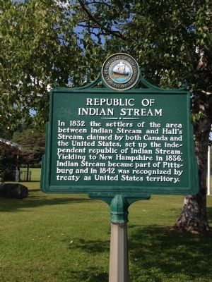
Republic of Indian Stream
In 1832 the settlers of the area between Indian Stream and Hall's Stream, claimed by both Canada and the United States, set up the independent republic of Indian Stream. Yielding to New Hampshire in 1836, Indian Stream became part of Pittsburg and in 1842 was recognized by treaty as United States territory.
Erected by New Hampshire Division of Historical Resources. (Marker Number 001.)
Topics and series. This historical marker is listed in these topic lists: Political Subdivisions • Settlements & Settlers. In addition, it is included in the New Hampshire Historical Highway Markers series list. A significant historical year for this entry is 1832.
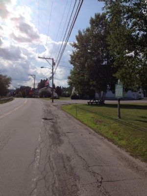
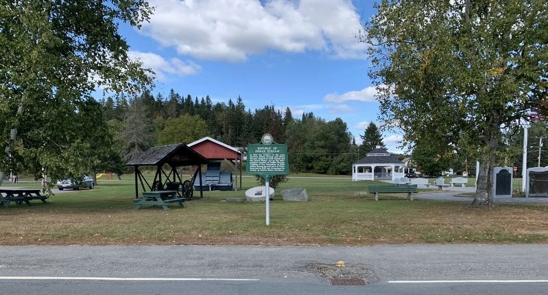
Location. 45° 3.091′ N, 71° 23.22′ W. Marker is in Pittsburg, New Hampshire, in Coos County. Marker is at the intersection of Main Street (U.S. 3) and Back Lake Road, on the right when traveling west on Main Street. Touch for map. Marker is in this post office area: Pittsburg NH 03592, United States of America. Touch for directions.
Other nearby markers. At least 8 other markers are within 9 miles of this marker, measured as the crow flies. Pittsburg Honor Roll (a few steps from this marker); Pittsburg World War II Honor Roll (a few steps from this marker); a different marker also named Pittsburg Honor Roll (a few steps from this marker); Indian Stream Republic (approx. 2.1 miles away); 45th Parallel (approx. 3.9 miles away); Metallak (approx. 5.8 miles away); a different marker also named 45th Parallel (approx. 7.7 miles away); Stewartstown Honor Roll (approx. 8.2 miles away). Touch for a list and map of all markers in Pittsburg.
More about this marker. Marker is located on the village green near the welcome sign and the war memorials.
Credits. This page was last revised on September 22, 2020. It was originally submitted on July 23, 2014, by Kevin Craft of Bedford, Quebec. This page has been viewed 687 times since then and 88 times this year. Photos: 1, 2. submitted on July 23, 2014, by Kevin Craft of Bedford, Quebec. 3. submitted on September 21, 2020, by Steve Stoessel of Niskayuna, New York. • Bill Pfingsten was the editor who published this page.


