Near Scriba in Oswego County, New York — The American Northeast (Mid-Atlantic)
Commanding the Forces
The Men in Charge
— War of 1812 —
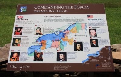
The war effort was lead by distinguished men on both sides whose effectiveness at their jobs varied, but the impacts of their campaigns on border communities were dramatic. Their ranks and commands changed frequently, they celebrated successes and failures, they disagreed with each other, some went on to greater fame, and others fell into disgrace. Their legacies live on in the lore and names of Great Lakes/St. Lawrence River places.
The British
The British were focused on defeating Napoleon in Europe; at the same time they had to defend Canada against repeated American attacks. British commanders were ultimately successful. Canada remained a part of the British Empire until 1867.
Sir George Prevost
Lieutenant General Prevost became Governor General of Canada in 1811 at age 44. Conservative and cautious, he did not work well with the Royal Navy. Although successful in defending Canada, Prevost returned to England in 1815 to face a court martial, but died before his trial convened.
Sir Gordon Drummond
Lieutenant General Drummond was 41 in 1813 when appointed to command the British Army in Upper Canada. Competent and aggressive, he attacked Oswego, captured Fort Niagara, burned Buffalo, fought to a draw at Lundy's Lane, but failed to recapture Fort Erie.
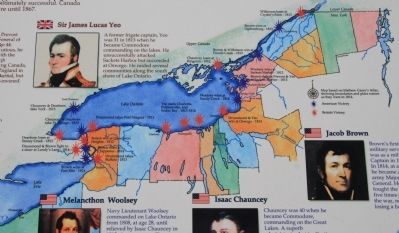
Sir James Lucas Yeo
A former frigate captain, Yeo was 31 in 1813 when he became Commodore commanding on the lakes. He unsuccessfully attacked Sackets Harbor but succeeded at Oswego. He raided several communities along the south shore of Lake Ontario.
The Americans
The Americans were intent on conquering Canada, but one plan after another failed due to poor leadership. By the time the American leaders got organized it was too late; the British had defeated Napoleon, freeing up thousands of reinforcements for the was in America.
Henry Dearborn
A Revolutionary War Colonel, Congressman and Secretary of War, he was 61 in 1812 when he became Major General commanding the United States Army in upstate New York
John Armstrong
A former Senator, Minister to France, and Brigadier General, at age 54 he became Secretary of War. He mismanaged the attack on Montreal in 1813, and in 1814 he was blamed for the burning of Washington and forced to resign.
Jacob Brown
Brown's first military service was as a militia Captain in 1807. In 1814, at age 39 he became an army Major General.
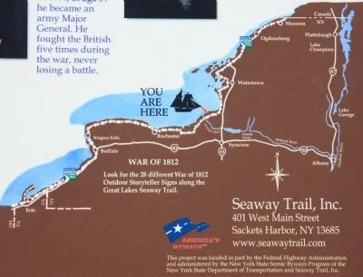
He fought the British five times during the war, never losing a battle.
Isaac Chauncey
Chauncey was 40 when he became Commodore, commanding on the Great Lakes. A superb administrator but ineffective as a combat commander, he never forced the British to fight a decisive battle.
Melancthon Woolsey
Navy Lieutenant Woolsey commanded on Lake Ontario from 1808, at age 28, until relieved by Isaac Chauncey in 1812. A competent officer, as Master Commandant he replaced Chauncey in 1815.
James Wilkinson
A Revolutionary War veteran, he was the army's senior officer from 1800 to 1812. He was 56 in 1813 when he replaced Dearborn as Major General, commanding in upstate New York. Wilkinson lost battles at Crysler's Farm and Lacolle Mills.
Erected by Great Lakes Seaway Trail.
Topics and series. This historical marker is listed in this topic list: War of 1812. In addition, it is included in the Great Lakes Seaway Trail National Scenic Byway series list. A significant historical year for this entry is 1867.
Location. 43° 27.974′ N, 76° 24.459′ W. Marker is near Scriba, New York, in Oswego County. Marker is on New York State Route 104 west of County Route 51A,
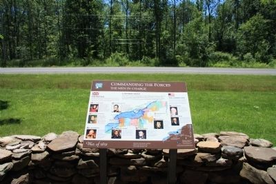
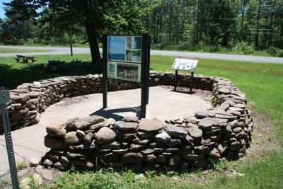
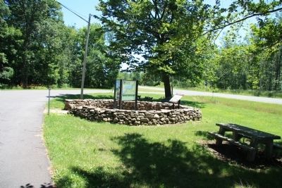
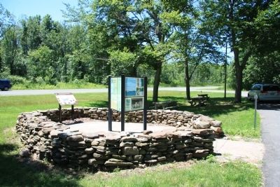
on the right when traveling west. This historical marker is located in a small, roadside park, situated on the north side of the roadway. Touch for map. Marker is in this post office area: Oswego NY 13126, United States of America. Touch for directions.
Other nearby markers. At least 8 other markers are within 5 miles of this marker, measured as the crow flies. Log House (approx. 1.1 miles away); Curtis F. Shoup (approx. 1.1 miles away); M-60A1 Patton Tank (approx. 4˝ miles away); Dempster Grove (approx. 4.6 miles away); Corporal Harry C. Adriance U.S.M.C.-Oswego, NY (approx. 4.6 miles away); Historic Church (approx. 4.7 miles away); Audrey Munson (approx. 4.8 miles away); Richardson - Bates House Museum (approx. 4.9 miles away). Touch for a list and map of all markers in Scriba.
Credits. This page was last revised on June 16, 2016. It was originally submitted on July 27, 2014, by Dale K. Benington of Toledo, Ohio. This page has been viewed 572 times since then and 23 times this year. Photos: 1, 2, 3, 4, 5, 6, 7. submitted on July 27, 2014, by Dale K. Benington of Toledo, Ohio.
