Near Ellisburg in Jefferson County, New York — The American Northeast (Mid-Atlantic)
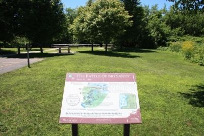
The Battle of Big Sandy
May 30, 1814
— War of 1812 —
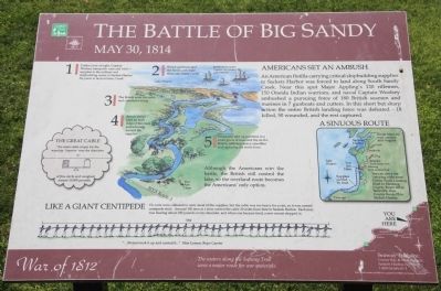
An American flotilla carrying critical shipbuilding supplies to Sackets Harbor was forced to land along South Sandy Creek. Near this spot Major Appling's 120 riflemen, 150 Oneida Indian warriors and naval Captain Woolsey ambushed a pursuing force of 180 British seamen and marines in 7 gunboats and cutters. In this short but sharp action the entire British landing force was defeated - 18 killed, 50 wounded, and the rest captured.
1]
Under cover of night, Captain Woolsey transports men and vital supplies to the military and shipbuilding center in Sackets Harbor. He plans to land at Stoney Creek.
2]
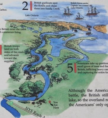
British gunboats spot the flotilla and chase them into Sandy Creek.
3]
The British enter the creek and commence firing.
4]
British troops land on both sides of the creek and advance toward the supplies.
5]
Americans take up positions in a small grove of trees and fire on the British, inflicting heavy casualties and capturing the entire force.
Although the Americans win the battle, the British still control the lake, so the overland route becomes the Americans' only option.
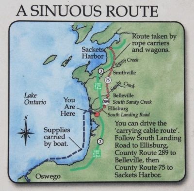
Sinuous Route
Route taken by rope carriers and wagons.
You can drive the 'carrying cable route'. Follow South Landing Road to Ellisburg, County Route 289 to Belleville, then County Route 75 to Sackets Harbor.
Like a Giant Centipede
Ox carts were collected to carry most of the supplies, but the cable was too heavy for a cart, so it was carried centipede-style. Around 100 men at a time carried the cable 20 miles from here to Sackets Harbor. Each man was bearing about 100 pounds on his shoulder, and when one became tired, a new recruit stepped in.
Erected by Great Lakes Seaway Trail.
Topics and series. This historical marker is listed in this topic list: War of 1812. In addition, it is included in the Great Lakes Seaway Trail National Scenic Byway series list.
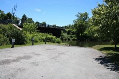
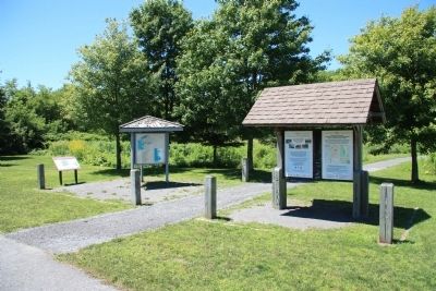
Location. 43° 42.614′ N, 76° 10.945′ W. Marker is near Ellisburg, New York, in Jefferson County. Marker can be reached from New York State Route 3 north of Nash Road, on the left when traveling north. This historical marker is located at a roadside park, that serves as both a boat ramp for access to South Sandy Creek, and a state bird watching site. Touch for map. Marker is in this post office area: Ellisburg NY 13636, United States of America. Touch for directions.
Other nearby markers. At least 8 other markers are within 10 miles of this marker
, measured as the crow flies. After the Battle of Big Sandy (approx. ¼ mile away); Carrying Cable Route (approx. 4½ miles away); Blount Lumber (approx. 7.3 miles away); 1820 Oliver Bates Home (approx. 7.8 miles away); a different marker also named Carrying Cable Route (approx. 9.4 miles away); Selkirk Lighthouse (approx. 9½ miles away); Salmon River (approx. 9.7 miles away); Samuel de Champlain (approx. 9.7 miles away). Touch for a list and map of all markers in Ellisburg.
Related markers. Click here for a list of markers that are related to this marker. To better understand the relationship, study each marker in the order shown.
Also see . . . Battle of Big Sandy Creek. Wikipedia entry (Submitted on October 1, 2021, by Larry Gertner of New York, New York.)
Additional commentary.
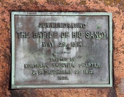
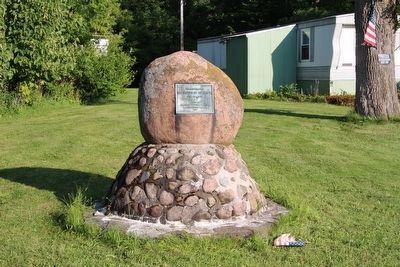
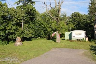
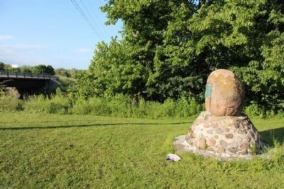
1. Another marker Commemorating the Battle of Big Sandy
There is another marker for the Battle of Big Sandy and it is located both on the other side of New York State Route 3, but also on the other side of Big Sandy Creek. In fact, this marker is situated on the southeast side of the New York State Route 3, Sandy Creek bridge.
Unfortunately, although this marker was erected in 1926, by the Northern Frontier Chapter, U.S. Daughters of 1812,
it doesn't provide enough information to be eligible for inclusion in the HMdb. So I decided to post this particular marker's picture on this page instead.
The marker is located on private residential property at 43.42.549N x 076.10.933W.
— Submitted August 2, 2015, by Dale K. Benington of Toledo, Ohio.
Credits. This page was last revised on October 1, 2021. It was originally submitted on July 27, 2014, by Dale K. Benington of Toledo, Ohio. This page has been viewed 1,312 times since then and 68 times this year. Photos: 1, 2, 3, 4, 5, 6, 7. submitted on July 27, 2014, by Dale K. Benington of Toledo, Ohio. 8, 9, 10, 11, 12. submitted on August 2, 2015, by Dale K. Benington of Toledo, Ohio.
