Pennellville in Oswego County, New York — The American Northeast (Mid-Atlantic)
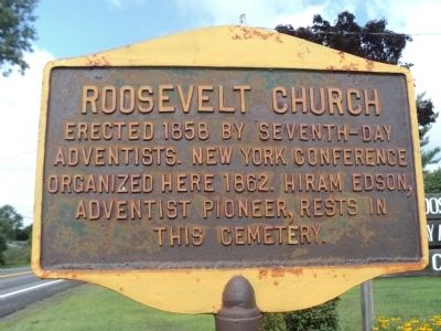
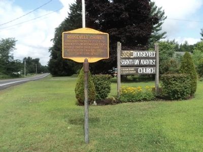
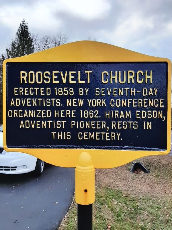
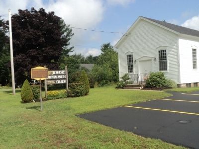
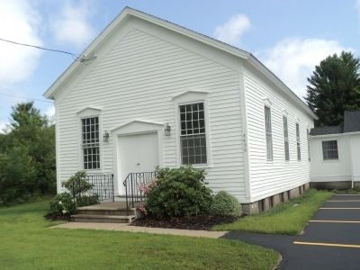
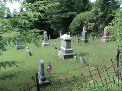
Roosevelt Church
Topics. This historical marker is listed in this topic list: Churches & Religion. A significant historical year for this entry is 1858.
Location. 43° 18.481′ N, 76° 15.335′ W. Marker is in Pennellville, New York, in Oswego County. Marker is on New York State Route 49 west of County Route 54, on the right. Touch for map. Marker is at or near this postal address: 4456 State Route 49, Pennellville NY 13132, United States of America. Touch for directions.
Other nearby markers. At least 8 other markers are within 8 miles of this marker, measured as the crow flies. 1809 State Road (approx. 0.8 miles away); Fort Brewerton (approx. 7.4 miles away); Oak Orchard (approx. 7.4 miles away); Oliver Stevens (approx. 7.4 miles away); a different marker also named Oliver Stevens (approx. 7.4 miles away); Near This Spot (approx. 7.4 miles away); Techiroguen (approx. 7˝ miles away); Early School (approx. 8.1 miles away).
Credits. This page was last revised on December 8, 2021. It was originally submitted on August 2, 2014, by Bill Coughlin of Woodland Park, New Jersey. This page has been viewed 409 times since then and 29 times this year. Photos: 1, 2. submitted on August 2, 2014, by Bill Coughlin of Woodland Park, New Jersey. 3. submitted on December 3, 2021, by Bob of Syracuse, New York. 4, 5, 6. submitted on August 2, 2014, by Bill Coughlin of Woodland Park, New Jersey.
