Oriskany in Oneida County, New York — The American Northeast (Mid-Atlantic)
Aftermath of a Tragedy
Oriskany Battlefield State Historic Site
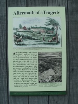
After the Revolutionary War, Oriskany Battlefield’s landscape began to change dramatically. As New York’s frontier pushed westward, the impact of constructing new settlements, canals, railroads, and modern highways altered the battlefield’s character. Starting in 1795, the battlefield’s dense forest was gradually clear cut, creating open fields and pastures extending from this high ridge north to the banks of the Mohawk River. The historic military road alignment became obscured. Soon, the only features to remain untouched were the larger farm land forms left by ancient glaciers and a small grove of descendent hemlocks on the northeast edge of the bloody ravine. From 1861 to 1952, a second era of agricultural use and new land divisions further modified the battlefield’s appearance.
Erected by Oriskany Battlefield State Historic Site.
Topics. This historical marker is listed in this topic list: War, US Revolutionary. A significant historical year for this entry is 1795.
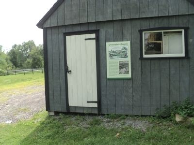
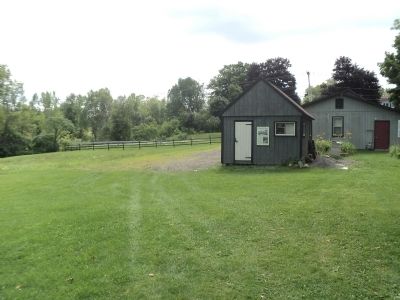
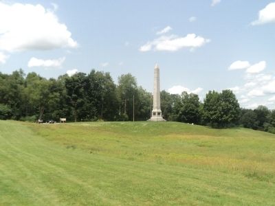
Location. 43° 10.538′ N, 75° 22.151′ W. Marker is in Oriskany, New York, in Oneida County. Marker can be reached from Rome-Oriskany Road (New York State Route 69), on the left when traveling east. Marker is in the Oriskany Battlefield State Historic Site. Touch for map. Marker is in this post office area: Oriskany NY 13424, United States of America. Touch for directions.
Other nearby markers. At least 8 other markers are within walking distance of this marker. The Ambush: August 6, 1777 (a few steps from this marker); Near This Spot (within shouting distance of this marker); The Military Road (within shouting distance of this marker); Ambush Started Here (within shouting distance of this marker); General Herkimer's Troops (about 500 feet away, measured in a direct line); To The Unknown Patriotic Soldiers of Tryon County (about 600 feet away); Relief for Fort Stanwix (about 600 feet away); Welcome to Oriskany Battlefield (about 600 feet away). Touch for a list and map of all markers in Oriskany.
More about this marker. A drawing of the Oriskany Battlefield appears at the top of the marker. It has a caption of “This is how the battlefield appeared in 1848, when Benson Lossing sketched scenes for his Pictorial Field Book of the Revolution. Today, the battlefield’s historic and cultural landscape features are very different from their appearance in 1777.”
A photograph at the bottom left contains the caption “This 1949 photograph shows the impact of farming with modern land divisions, pasture fences, mid-19th-century barns, modern roads, railroads, etc. on the core of the battlefield landscape, as well as the extent of forest clearing and subsequent re-growth today.”
Credits. This page was last revised on September 29, 2017. It was originally submitted on August 3, 2014, by Bill Coughlin of Woodland Park, New Jersey. This page has been viewed 451 times since then and 12 times this year. Photos: 1, 2, 3, 4. submitted on August 3, 2014, by Bill Coughlin of Woodland Park, New Jersey.


