Near Brooktondale in Tompkins County, New York — The American Northeast (Mid-Atlantic)
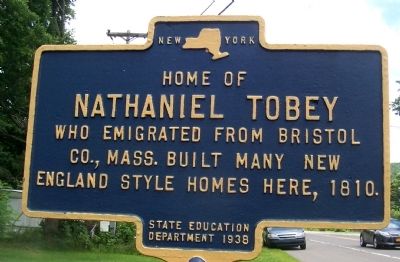
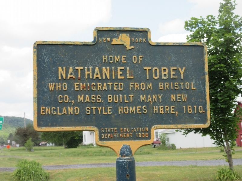
Home of Nathaniel Tobey
Erected 1938 by State Education Department.
Topics. This historical marker is listed in this topic list: Settlements & Settlers. A significant historical year for this entry is 1810.
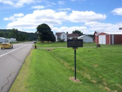
Location. 42° 22.713′ N, 76° 17.783′ W. Marker is near Brooktondale, New York, in Tompkins County. Marker is on New York State Route 79. Touch for map. Marker is at or near this postal address: 3304 Slaterville Road, Brooktondale NY 14817, United States of America. Touch for directions.
Other nearby markers. At least 8 other markers are within 3 miles of this marker, measured as the crow flies. The Widow Earsley (approx. ¼ mile away); Cabin Site (approx. 0.4 miles away); Old Rich Tavern (approx. 0.6 miles away); CCC Camp (approx. 1½ miles away); Site of Speed Blockhouse (approx. 1.7 miles away); Eastern Boundary Cantine Military Tract (approx. 2.1 miles away); “The 600” Lot 97 (approx. 2.2 miles away); Town of Caroline (approx. 2.9 miles away). Touch for a list and map of all markers in Brooktondale.
Credits. This page was last revised on June 14, 2023. It was originally submitted on August 10, 2014, by Forest McDermott of Masontown, Pennsylvania. This page has been viewed 487 times since then and 28 times this year. Photos: 1. submitted on August 10, 2014, by Forest McDermott of Masontown, Pennsylvania. 2. submitted on June 14, 2023, by Mira Earls of Cortland, New York. 3. submitted on August 10, 2014, by Forest McDermott of Masontown, Pennsylvania. • Bill Pfingsten was the editor who published this page.


