Wabash in Wabash County, Indiana — The American Midwest (Great Lakes)
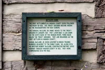
Settler's Cabin
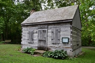
The Samueal McClure, Sr. family moved to the treaty grounds in January, 1827. They later built a log cabin on the north bank of the Wabash River, three miles below the treaty grounds. They are regarded as the first settlers in Wabash County.
Samuel McClure, Jr. soon located an Indian trading business adjacent to the family cabin. He, along with his brother Robert McClure, constructed the first state highway through Wabash County in 1833. They were compensated $7.58 per mile.
Topics. This historical marker is listed in this topic list: Settlements & Settlers. A significant historical month for this entry is January 1827.
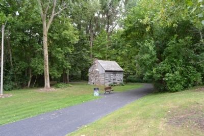
Location. 40° 47.753′ N, 85° 48.978′ W. Marker is in Wabash, Indiana, in Wabash County. Marker can be reached from S. Huntington Street south of E. Fulton Street. Marker is located in the southern part of Paradise Spring Park east of the parking lot; the above directions are to the park’s southwest parking lot. Touch for map. Marker is in this post office area: Wabash IN 46992, United States of America. Touch for directions.
Other nearby markers. At least 8 other markers are within walking distance of this marker. Paradise Spring Historical Park (within shouting distance of this marker); The Big Four Railroad (about 300 feet away, measured in a direct line); Storage Cabin (about 500 feet away); The Wabash River (about 500 feet away); Council House (about 500 feet away); Quarters of Captain Frederick R. Kintner (about 500 feet away); Paradise Spring Treaty Ground (about 500 feet away); Quarters of Major General John Tipton (about 500 feet away). Touch for a list and map of all markers in Wabash.
Credits. This page was last revised on June 16, 2016. It was originally submitted on August 27, 2014, by Duane Hall of Abilene, Texas. This page has been viewed 330 times since then and 17 times this year. Photos: 1, 2, 3. submitted on August 27, 2014, by Duane Hall of Abilene, Texas.


