Near Nevada City in Nevada County, California — The American West (Pacific Coastal)
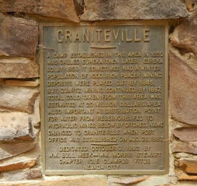
Graniteville
Erected 1992 by E Clampus Vitus, William Bull Meek - William Morris Stewart Chapter 10.
Topics and series. This historical marker is listed in this topic list: Settlements & Settlers. In addition, it is included in the E Clampus Vitus series list. A significant historical month for this entry is August 1863.
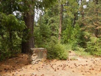
Location. 39° 26.343′ N, 120° 44.553′ W. Marker is near Nevada City, California, in Nevada County. Marker is on North Bloomfield-Graniteville Road, on the left when traveling east. Touch for map. Marker is at or near this postal address: 35184 North Bloomfield-Graniteville Road, Nevada City CA 95959, United States of America. Touch for directions.
Other nearby markers. At least 8 other markers are within 7 miles of this marker, measured as the crow flies. Cornish Ranch House (approx. 5.1 miles away); Ormonde (approx. 5˝ miles away); Alleghany (approx. 5.8 miles away); Bovee Building (approx. 5.8 miles away); The Sixteen to One Mine (approx. 5.8 miles away); Kohler Building (approx. 6.3 miles away); Washington (approx. 6.3 miles away); Brimskill Building (approx. 6.3 miles away).
More about this marker. Graniteville is 24 miles, one-half of it unpaved, from Highway 49 via Tyler Foote Crossing, Cruzon Grade, Snow Tent and North Bloomfield-Graniteville Roads.
Credits. This page was last revised on June 16, 2016. It was originally submitted on August 31, 2014, by Barry Swackhamer of Brentwood, California. This page has been viewed 405 times since then and 11 times this year. Photos: 1, 2, 3, 4. submitted on August 31, 2014, by Barry Swackhamer of Brentwood, California. • Syd Whittle was the editor who published this page.


