Lockport in Niagara County, New York — The American Northeast (Mid-Atlantic)
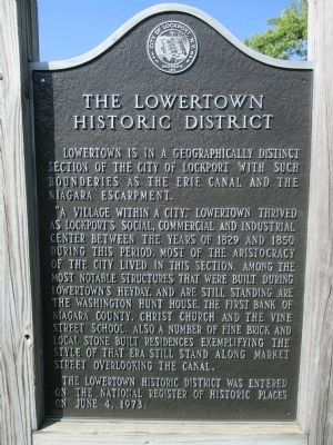
The Lowertown Historic District
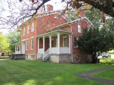
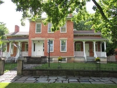
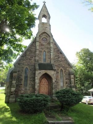
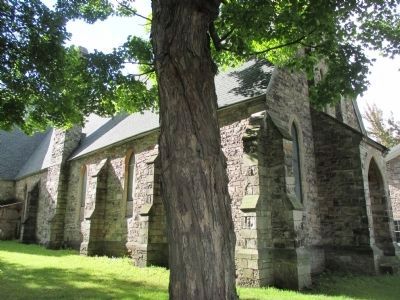
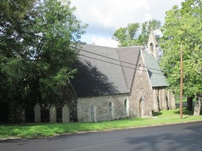
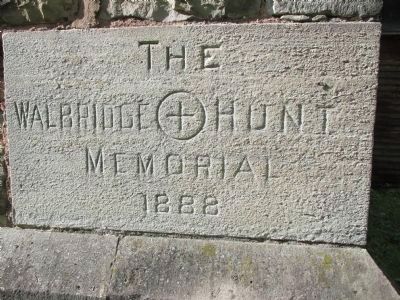
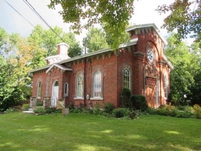
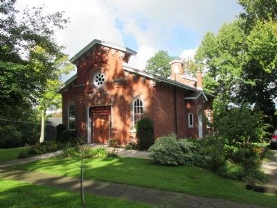
"A village within a city," Lowertown thrived as Lockport's social, commercial and industrial center between the years of 1829 and 1950. During this period, most of the aristocracy of the city lived in this section. Among the most notable structures that were built during Lowertown's heyday, and are still standing, are the Washington Hunt House, the First Bank of Niagara County, Christ Church and the Vine Street School. Also a number of fine brick and local stone built residences exemplifying the style of that era still stand along Market Street overlooking the canal.
The Lowertown Historic District was entered on the National Register of Historic Places on June 4, 1973.
Topics. This historical marker is listed in this topic list: Settlements & Settlers. A significant historical year for this entry is 1829.
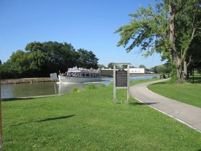
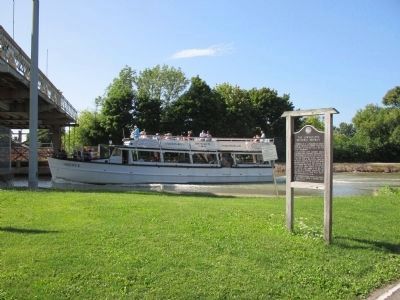
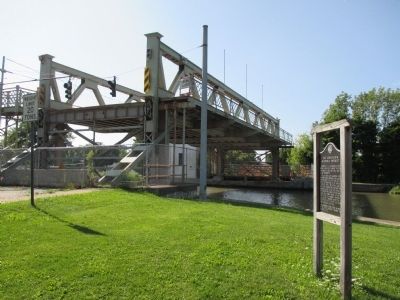
Location. 43° 10.715′ N, 78° 40.946′ W. Marker is in Lockport, New York, in Niagara County. Marker is at the intersection of Market Street and North Adam Street, on the right when traveling west on Market Street. Marker is by the North Adam Street Bridge. Touch for map. Marker is in this post office area: Lockport NY 14094, United States of America. Touch for directions.
Other nearby markers. At least 8 other markers are within walking distance of this marker . Residence of Washington Hunt (within shouting distance of this marker); Lockport Bank (about 500 feet away, measured in a direct line); The Erie Barge Canal at Lockport (approx. 0.2 miles away); Aaron Mossell (approx. ¼ mile away); The Sluice and Hall Spillway (approx. ¼ mile away); a different marker also named The Lowertown Historic District (approx. 0.4 miles away); Original Niagara Grape Vine (approx. 0.6 miles away); Lockport Federal Building (approx. 0.6 miles away). Touch for a list and map of all markers in Lockport.
Photographed By Anton Schwarzmueller, August 18, 2014
3. The Lowertown Historic District Marker
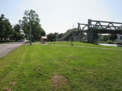
North Adams Street Lift Bridge over the Erie Canal. The bridge motors are no longer reliable, so it has been left in the raised position indefinitely. There is a twin bridge a few blocks west (Exchange Street) that is restored and functioning. When built, heavy canal traffic in season meant these bridges were predominently in the raised position. Staircases at either end (far left) allowed pedestrians to use the bridges when raised.
Credits. This page was last revised on June 16, 2016. It was originally submitted on September 10, 2014, by Anton Schwarzmueller of Wilson, New York. This page has been viewed 538 times since then and 40 times this year. Photos: 1, 2, 3, 4, 5. submitted on September 10, 2014, by Anton Schwarzmueller of Wilson, New York. 6, 7, 8, 9, 10, 11, 12, 13. submitted on September 28, 2014, by Anton Schwarzmueller of Wilson, New York. • Bill Pfingsten was the editor who published this page.
