Near Loudenville in Knox County, Ohio — The American Midwest (Great Lakes)
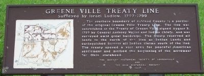
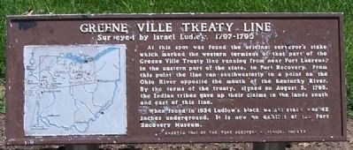
Greene Ville Treaty Line
Greene Ville Treaty Line
Surveyed by Israel Ludlow, 1797- 1799
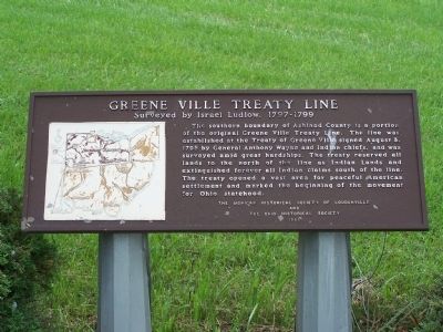
The southern boundary of Ashland County is a portion of the original Greene Ville Treaty. The line was established at the Treaty of Greene Ville signed August 3, 1795 by General Anthony Wayne and Indian Chiefs, and was surveyed amid great hardships. The treaty reserved all lands to the north of the line as Indian Land and extinguished forever all Indian claims south of the line. The treaty opened a vast area for peaceful American settlement and marked the beginning of the movement for Ohio statehood.
Erected 1968 by The Mohican Historical Society of Loudenville and The Ohio Historical Society.
Topics. This historical marker is listed in this topic list: Settlements & Settlers. A significant historical year for this entry is 1799.
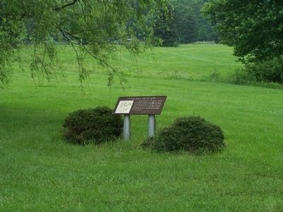
Location. 40° 33.707′ N, 82° 16.383′ W. Marker is near Loudenville, Ohio, in Knox County. Marker is on Wooster Road (Ohio Route 3), on the left when traveling north. Touch for map. Marker is at or near this postal address: 22896 Wooster Rd, Danville OH 43014, United States of America. Touch for directions.
Other nearby markers. At least 8 other markers are within 3 miles of this marker, measured as the crow flies. Wolf Creek (Pine Run) Grist Mill (approx. 2.8 miles away); The Old Mill (approx. 2.8 miles away); A Brief History of the Mill (approx. 2.8 miles away); The Plow (approx. 2.8 miles away); The Sorghum Press (approx. 2.9 miles away); The Corn Crib (approx. 2.9 miles away); The Henhouse (approx. 2.9 miles away); The Outhouse (approx. 2.9 miles away).
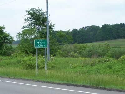
More about this marker. Marker is on the Treaty Line, which serves as the County Line between Ashland and Knox Counties
Regarding Greene Ville Treaty Line. this marker is very similar to the one at Fort Recovery
Also see . . . Treaty of Greenville. Wikipedia entry (Submitted on August 22, 2022, by Larry Gertner of New York, New York.)
Credits. This page was last revised on August 22, 2022. It was originally submitted on September 21, 2014, by Rev. Ronald Irick of West Liberty, Ohio. This page has been viewed 489 times since then and 17 times this year. Photos: 1, 2, 3, 4, 5. submitted on September 21, 2014, by Rev. Ronald Irick of West Liberty, Ohio. • Al Wolf was the editor who published this page.
