Saint John in Saint John County, New Brunswick — The Atlantic Provinces (North America)
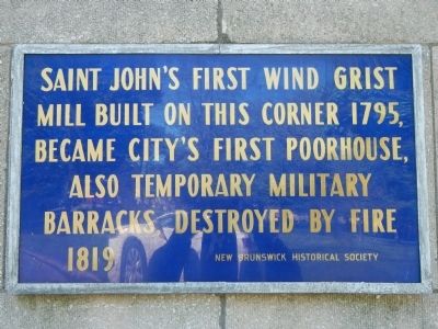
Saint Johnís First Wind Grist Mill
...built on this corner 1795, became cityís first poorhouse, also temporary military barracks, destroyed by fire 1819
Erected by New Brunswick Historical Society.
Topics. This historical marker is listed in this topic list: Industry & Commerce. A significant historical year for this entry is 1795.
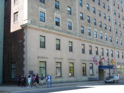
Location. 45° 16.376′ N, 66° 3.486′ W. Marker is in Saint John, New Brunswick, in Saint John County. Marker is on Kings Square South, on the right when traveling east. Touch for map. Marker is at or near this postal address: 18 Kings Square South, Saint John NB E2L 5B8, Canada. Touch for directions.
Other nearby markers. At least 8 other markers are within walking distance of this marker. Imperial Theatre (within shouting distance of this marker); Kingís Square (within shouting distance of this marker); King Edward VII Memorial Bandstand (about 90 meters away, measured in a direct line); No. 2 Mechanicsí Volunteer Company Engine House (about 90 meters away); Saint Johnís Original Burial Ground (about 90 meters away); Founding of New Brunswick (about 90 meters away); Saint John City Market (about 150 meters away); The Great Fire of 1877 | Líincendie de 1877 (about 180 meters away). Touch for a list and map of all markers in Saint John.
Credits. This page was last revised on June 16, 2016. It was originally submitted on September 27, 2014, by Barry Swackhamer of Brentwood, California. This page has been viewed 380 times since then and 23 times this year. Photos: 1, 2. submitted on September 27, 2014, by Barry Swackhamer of Brentwood, California. • Andrew Ruppenstein was the editor who published this page.

