Rothenburg ob der Tauber in Ansbach, Bavaria, Germany — Central Europe
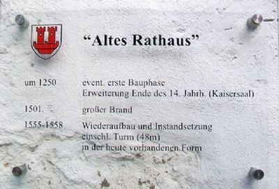
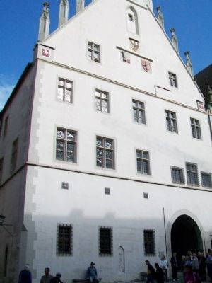
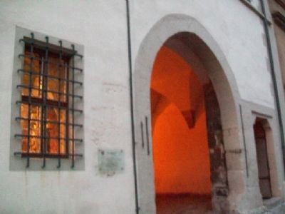
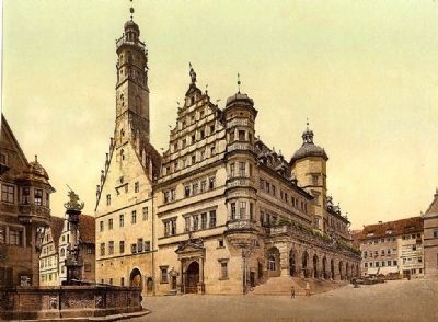
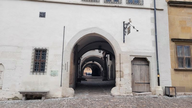
Altes Rathaus / Old Town Hall
um 1250 event. erste Bauphase
Erweiterung Ende des 14. Jahrh. (Kaisersaal)
1501 großer Brand
1551-1558 Wiederaufbau und Instandsetzung einschl. Turm (48m) in der heute vorhandenen Form
————————
First building phase begun in 1250
Expansion (Emperor's Hall), at end of the 14th century.
1501 Great Fire
1551-1558 Rebuilding and repair, including the tower (48m) in its present day form
Erected by City of Rothenburg ob der Tauber.
Topics. This historical marker is listed in this topic list: Notable Buildings. A significant historical year for this entry is 1250.
Location. 49° 22.621′ N, 10° 10.708′ E. Marker is in Rothenburg ob der Tauber, Bayern (Bavaria), in Ansbach. Marker is at the intersection of Herrngasse and Marktplatz, on the right when traveling west on Herrngasse. Touch for map. Marker is at or near this postal address: Marktplatz 1, Rothenburg ob der Tauber BY 91541, Germany. Touch for directions.
Other nearby markers. At least 8 other markers are within walking distance of this marker. Maximilian I (a few steps from this marker); Fleischhaus / Meat House (within shouting distance of this marker); Neues Rathaus / New Town Hall (within shouting distance of this marker); Christian I (within shouting distance of this marker); Heinr. Toppler (about 90 meters away, measured in a direct line); St. Jakob's Church World War I Memorial (about 120 meters away); St.-Michaels-Kapelle Rothenburg ob der Tauber / St Michaels Chapel (about 120 meters away); Rabbi Meir ben Baruch von Rothenburg (about 150 meters away). Touch for a list and map of all markers in Rothenburg ob der Tauber.
Also see . . . History of Rothenburg ob der Tauber. (Submitted on October 1, 2014, by William Fischer, Jr. of Scranton, Pennsylvania.)
Credits. This page was last revised on March 10, 2024. It was originally submitted on October 1, 2014, by William Fischer, Jr. of Scranton, Pennsylvania. This page has been viewed 362 times since then and 16 times this year. Photos: 1, 2, 3, 4. submitted on October 1, 2014, by William Fischer, Jr. of Scranton, Pennsylvania. 5. submitted on October 1, 2014. 6. submitted on March 10, 2024, by James Hulse of Medina, Texas.
