Chiriaco Summit in Riverside County, California — The American West (Pacific Coastal)
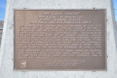
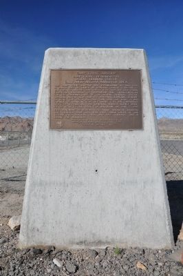
Camp Young Airstrip
Camp Young - Headquarters
— Desert Training Center California-Arizona Maneuver Area —
This monument is dedicated to those American soldiers who trained here and who gave their lives in the victory over Imperial Japan and Nazi Germany, and in ending the Holocaust.
Erected 2001 by Billy Holcomb Chapter No. 1069, E Clampus Vitus in cooperation with the Patton Museum. (Marker Number 106.)
Topics and series. This historical marker is listed in these topic lists: Air & Space • War, World II. In addition, it is included in the Desert Training Center, and the E Clampus Vitus series lists. A significant historical month for this entry is March 1942.
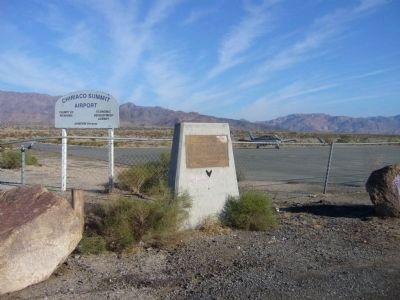
Location. 33° 39.696′ N, 115° 43.174′ W. Marker is in Chiriaco Summit, California, in Riverside County. Marker is on Chiriaco Road, on the right when traveling west. Marker is located east of the General Patton Memorial Museum, at the southwest corner of the fenced-off runway and airplane parking area, and may be hidden by parked 18-wheelers. Touch for map. Marker is at or near this postal address: 62450 Chiriaco Road, Indio CA 92201, United States of America. Touch for directions.
Other nearby markers. At least 8 other markers are within walking distance of this marker. The Chiriaco Family (about 500 feet away, measured in a direct line); Site of Contractors General Hospital (about 700 feet away); Catapults (about 700 feet away); Romero Pass (about 700 feet away); Scythed Chariots (about 700 feet away); Cannons (about 800 feet away); 33-barreled Organs (about 800 feet away); Coachella Valley Recipients (approx. 0.2 miles away). Touch for a list and map of all markers in Chiriaco Summit.
Regarding Camp Young Airstrip. This airstrip at the first camp, Camp Young, was named after General Samuel B.M. Young, who as a Captain in the Eight Cavalry in the late 1860's, patrolled the Mojave Road as part of his California assignment. This pass location has also been known at various times as Shaver's Summit, Romero Pass, Bradshaw Pass and Grant Pass. SOURCE: Billy Holcomb Chapter 1069 35th Anniversary Plaque Book by Phillip Holdaway
Credits. This page was last revised on June 16, 2016. It was originally submitted on December 20, 2011, by Michael Kindig of Elk Grove, California. This page has been viewed 1,022 times since then and 22 times this year. Last updated on November 3, 2014, by Michael Kindig of Elk Grove, California. Photos: 1. submitted on December 20, 2011, by Michael Kindig of Elk Grove, California. 2. submitted on December 25, 2011, by Michael Kindig of Elk Grove, California. 3. submitted on December 24, 2012, by Bill Kirchner of Tucson, Arizona. 4. submitted on December 25, 2011, by Michael Kindig of Elk Grove, California. • Bill Pfingsten was the editor who published this page.


