Guymon in Texas County, Oklahoma — The American South (West South Central)
Panhandle Area Natural Gas
Photographed by Bill Kirchner, October 5, 2014
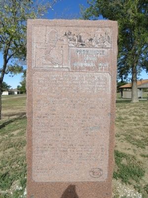
1. Panhandle Area Natural Gas Marker
Hugoton-Panhandle gas provides the world's largest source of helium from which the U.S. Government has drawn a 40 year supply stockpile and spacecraft and other industries obtain current needs.
The Texas part of the field was discovered in 1918 based on the surface survey and recommendations of Oklahoma's covered wagon geologist Charles A. Gould in 1904-1905. Gas from the deep formation was discovered in southwestern Kansas in 1922. Step out drilling northward from Texas and southward from Kansas revealed one huge tri-state field covering five million productive acres in parts of 20 counties. Development of these gas reserves was hampered by lack of market outlet.
This huge undeveloped reserve was to figure mightily in the birthing of the natural gas industry of the world completion of a 24 inch high pressure line from the
this page online
Erected 1982 by Oklahoma Historical Society with Oklahoma - Kansas Oil & Gas Association.
Topics and series. This historical marker is listed in this topic list: Industry & Commerce. In addition, it is included in the Oklahoma Historical Society series list. A significant historical year for this entry is 1918.
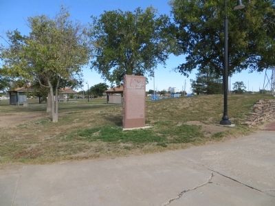
Location. 36° 40.526′ N, 101° 28.112′ W. Marker is in Guymon, Oklahoma, in Texas County. It can be reached from South Perkins Avenue north of East 5th Street (U.S. 412), on the right when traveling north. Marker is in No Man's Land Park. Touch for map. Marker is in this post office area: Guymon OK 73942, United States of America. Touch for directions.

Regionally, this marker is in Northwest Oklahoma — Red Carpet Country and in the Oklahoma Panhandle. It is also in the American South, specifically on the prairies, on the Southern Plains, and specifically on the High Plains. Globally, it is in North America, the Western Hemisphere, the Western
Photographed by Bill Kirchner, October 5, 2014
2. Panhandle Area Natural Gas Marker
Other nearby markers. At least 6 other markers are within walking distance of this marker: "Trees" of the Prairie (a few steps from this marker); Oil & Gas (approx. 0.3 miles away); The Pig (approx. 0.3 miles away); Guymon, Texas County, Oklahoma (approx. 0.3 miles away); E.T. Guymon (approx. 0.3 miles away); The Cow (approx. 0.3 miles away).
Credits. This page was last revised on June 16, 2016. It was originally submitted on November 11, 2014, by Bill Kirchner of Tucson, Arizona. This page has been viewed 669 times since then and 41 times this year. Photos: 1, 2. submitted on November 11, 2014, by Bill Kirchner of Tucson, Arizona. • Bernard Fisher was the editor who published this page.
