Laurel in Prince George's County, Maryland — The American Northeast (Mid-Atlantic)
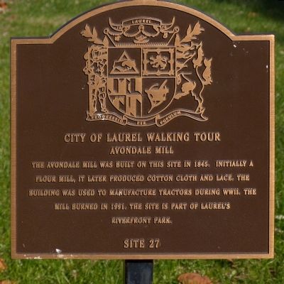
Avondale Mill
City of Laurel Walking Tour
Erected by Laurel Historical Society. (Marker Number 27.)
Topics. This historical marker is listed in this topic list: Industry & Commerce. A significant historical year for this entry is 1845.
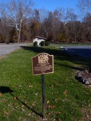
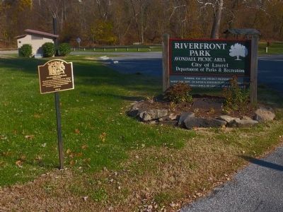
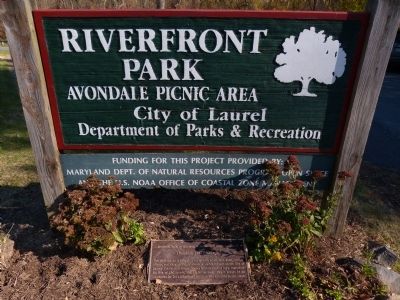
Location. 39° 6.424′ N, 76° 50.743′ W. Marker is in Laurel, Maryland, in Prince George's County. Marker is on Avondale Street. In Riverfront Park - Avondale Picnic Area. Touch for map. Marker is at or near this postal address: 24 Avondale St, Laurel MD 20707, United States of America. Touch for directions.
Other nearby markers. At least 8 other markers are within walking distance of this marker. Avondale Mill: A Lost Treasure (within shouting distance of this marker); Riverfront Park (within shouting distance of this marker); Patuxent River (within shouting distance of this marker); Site of Laurel's Civil War Hospital (about 600 feet away, measured in a direct line); An Angel Among US (approx. 0.2 miles away); Laurel: Half-way between Baltimore and Washington (approx. 0.2 miles away); First United Methodist Church of Laurel (approx. 0.2 miles away); First Garage in Laurel (approx. ¼ mile away). Touch for a list and map of all markers in Laurel.
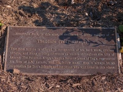
Photographed By Allen C. Browne, November 15, 2014
5. Ted Metzger
Theodore (Ted) Metzger
Credits. This page was last revised on June 16, 2016. It was originally submitted on November 21, 2014, by Allen C. Browne of Silver Spring, Maryland. This page has been viewed 469 times since then and 13 times this year. Photos: 1, 2, 3, 4, 5. submitted on November 21, 2014, by Allen C. Browne of Silver Spring, Maryland. • Bill Pfingsten was the editor who published this page.
