Near Mitchell in Scotts Bluff County, Nebraska — The American Midwest (Upper Plains)
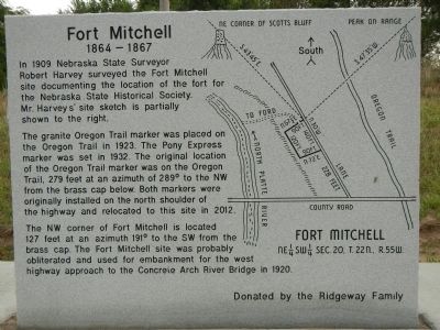
Fort Mitchell, 1864-1867
1864 - 1867
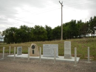
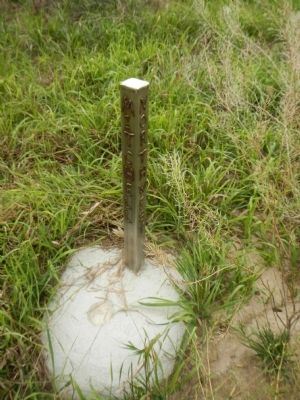
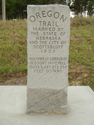
The granite Oregon Trail marker was placed on the Oregon Trail in 1923. The original location of the Oregon Trail marker was on the Oregon Trail, 279 feet at an azimuth of 289º to the NW from the brass cap below. Both markers were originally installed on the north shoulder of the highway and relocated to this site in 2012.
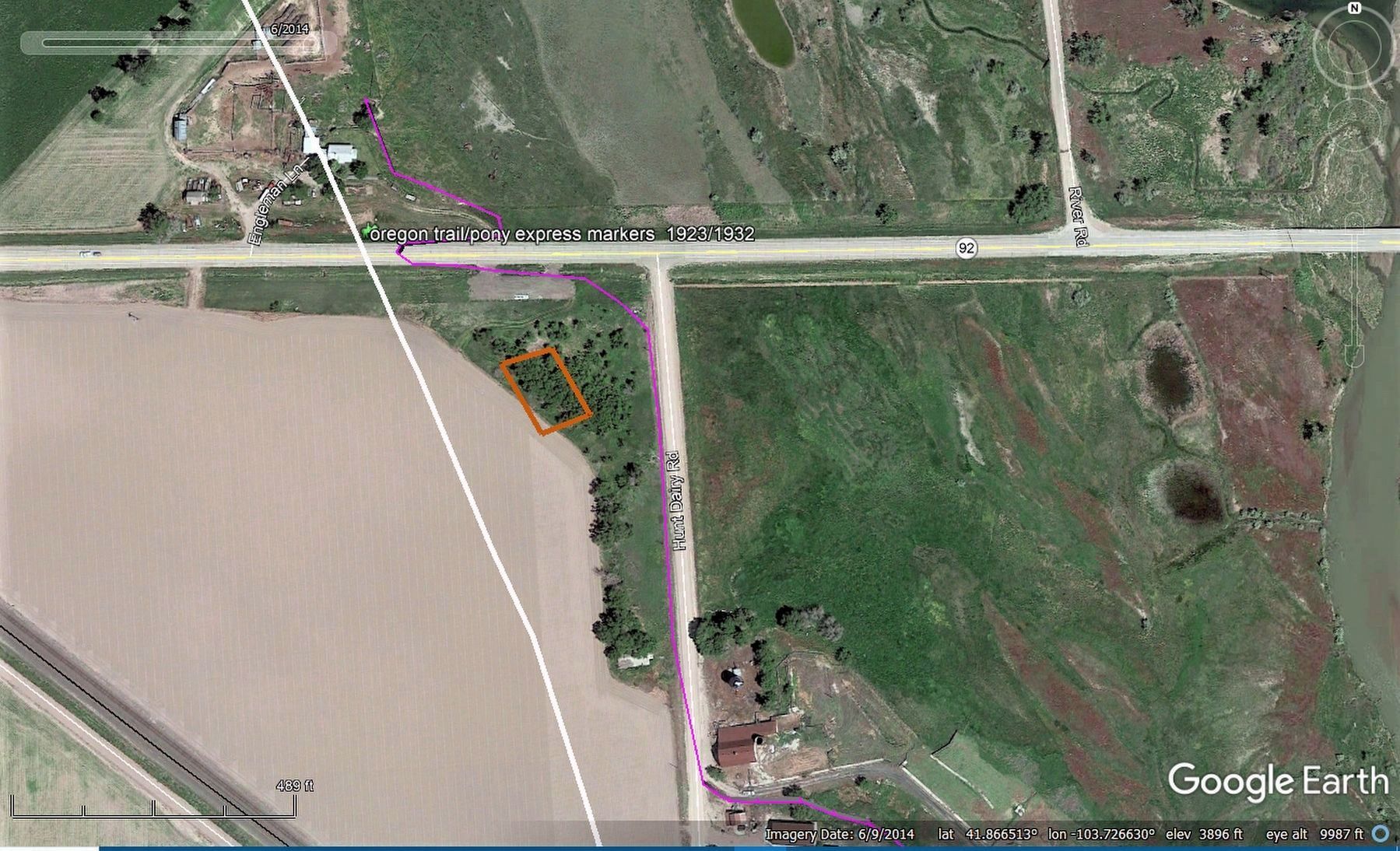
The NW corner of Fort Mitchell is located 127 feet at and azimuth of 191º to the SW from the brass cap. The Fort Mitchell site was probably obliterated and used for embankment for the west highway approach to the Concrete Arch River Bridge in 1920.
Erected by Ridgeway Family.
Topics and series. This historical marker is listed in this topic list: Forts and Castles. In addition, it is included in the Oregon Trail series list. A significant historical year for this entry is 1909.
Location. 41° 51.948′ N, 103° 43.657′ W. Marker is near Mitchell, Nebraska, in Scotts Bluff County. Marker is at the intersection of State Highway 92 and Hunt Dairy Road, on the right when traveling east on State Highway 92. Touch for map . Marker is at or near this postal address: 180397 Nebraska Route 92, Mitchell NE 69357, United States of America. Touch for directions.
Other nearby markers. At least 8 other markers are within 3 miles of this marker, measured as the crow flies. Scott's Bluff Pony Express Station (within shouting distance of this marker); a different marker also named Fort Mitchell, 1864-1867 (approx. 0.7 miles away); Saddle Club, Inc. (approx. 1.9 miles away); The Way West (approx. 2.3 miles away); The River Route (approx. 2.3 miles away); Scott Memorial (approx. 2.4 miles away); Eroding Landmark (approx. 2.4 miles away); Assistance on the Trail (approx. 2.4 miles away). Touch for a list and map of all markers in Mitchell.
Photographed By Carlton D. Hunt, April 11, 2020
5. Fort Mitchell, 1864-1867 extrapolated footprint from Google Earth
The diagram is based on the data included in the 20th Street and Hunt Dairy Road intersection as described in the Fort Mitchell Marker and original Fort dimensions. The purple line represent an estimate of the original second shelf location prior to the 1923 construction of the now concrete bridge. .
Credits. This page was last revised on November 2, 2020. It was originally submitted on December 7, 2014, by Barry Swackhamer of Brentwood, California. This page has been viewed 561 times since then and 20 times this year. Photos: 1, 2, 3, 4. submitted on December 7, 2014, by Barry Swackhamer of Brentwood, California. 5. submitted on April 11, 2020, by Carlton D. Hunt of Bridgewater, Massachusetts. • Bill Pfingsten was the editor who published this page.
