Fort Washington in Prince George's County, Maryland — The American Northeast (Mid-Atlantic)
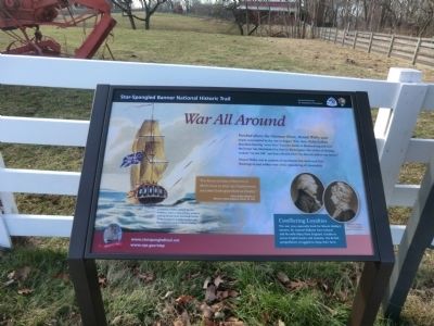
War All Around
Star-Spangled Banner National Historic Trail
— War of 1812 —
Mount Welby was in earshot of explosions that destroyed Fort Washington and within view of the plundering of Alexandria.
Conflicting Loyalties
The war was especially hard for Mount Welby’s owners, Dr. Samuel DeButts from Ireland and his wife Mary from England. Unable to access English banks and markets, the British sympathizers struggled to keep their farm.
“You know not how it hurt me to think I was so near my Countrymen, and must look upon them as Enemy.”
–Mary Welby DeButts to Millicent Welby Ridgehill, March 18, 1815.
(Inscription under the image on the right)
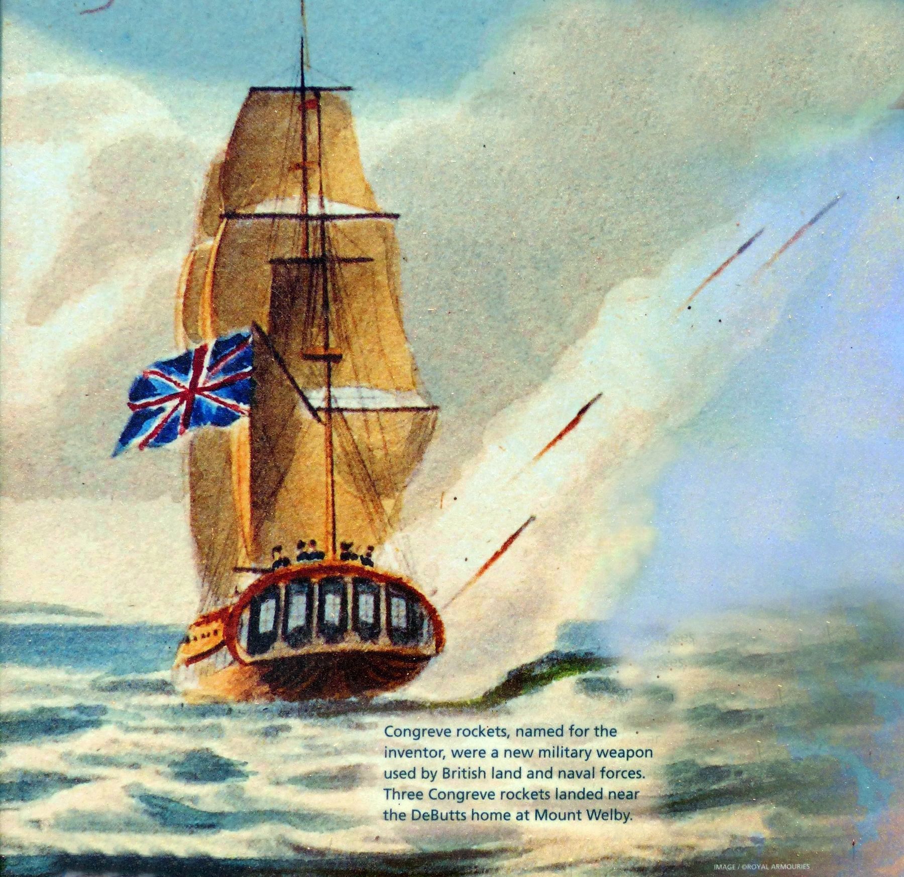
Congreve rockets, named for the inventor, were a new military weapon used by British land and naval forces. Three Congreve rockets landed near the DeButts home at Mount Welby.
Erected by National Park Service-United States Department of the Interior.
Topics. This historical marker is listed in this topic list: War of 1812. A significant historical date for this entry is March 18, 1815.
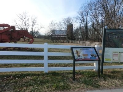
Location. 38° 48.09′ N, 77° 0.258′ W. Marker is in Fort Washington, Maryland, in Prince George's County. Marker is on Oxon Hill Farm Road. The marker is at the entrance to the Oxon Hill Farm. It is a unit of the U.S. Department of the Interior, National Park Service. Touch for map. Marker is in this post office area: Oxon Hill MD 20745, United States of America. Touch for directions.
Other nearby markers. At least 8 other markers are within walking distance of this marker. Oxon Cove Park and Oxon Hill Farm (a few steps from this marker); A Park with a Past (within shouting distance of this marker); A Voice Unheard… (within shouting distance of this marker); A Farm for St. Elizabeths, 1891-1950 (about 300 feet away, measured in a direct line); Sweet Sorghum (about 700 feet away); Two Centuries of Farm Buildings (approx. 0.2 miles away); Why a Brick Stable? (approx. 0.2 miles away); Root Cellar (approx. 0.2 miles away). Touch for a list and map of all markers in Fort Washington.
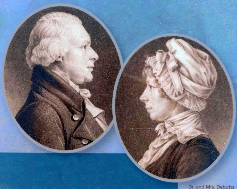
courtesy of National Portrait Gallery, Smithsonian Institution / Art Resource, New York, July 8, 2018
4. Dr. and Mrs. Debutts
Conflicting Loyalties
Conflicting Loyalties
The war was especially hard for Mount Welby's owners; Dr. Samuel DeButts from Ireland and his wife Mary from England. Unable to access English banks and markets, the British sympathizers struggled to keep their farm.Close-up of images on marker
Credits. This page was last revised on March 3, 2023. It was originally submitted on January 2, 2015, by Don Morfe of Baltimore, Maryland. This page has been viewed 425 times since then and 16 times this year. Photos: 1, 2, 3. submitted on January 2, 2015, by Don Morfe of Baltimore, Maryland. 4, 5. submitted on July 9, 2018, by Allen C. Browne of Silver Spring, Maryland. • Bill Pfingsten was the editor who published this page.
