Near Fort Washington in Prince George's County, Maryland — The American Northeast (Mid-Atlantic)
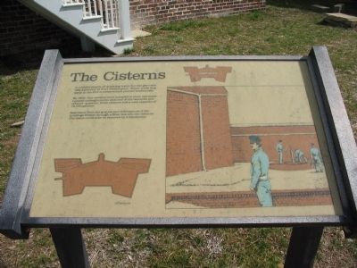
The Cisterns
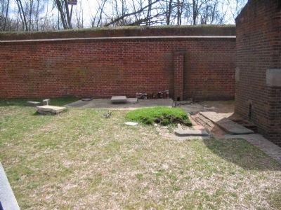
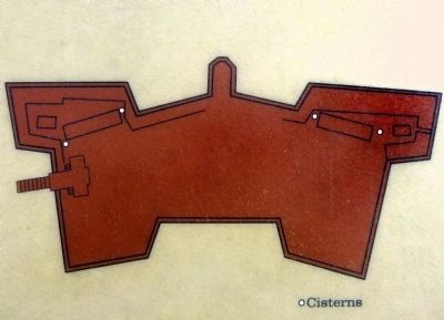
By 1823, four cisterns were installed to store rainwater. Located underground at each end of the barracks and officers' quarters, these cisterns had a total capacity of 19,000 gallons.
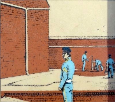
Rainwater from the gutters and downspouts of the buildings flowed through a filter box into the cisterns. The water could then be removed by a handpump.
Topics. This historical marker is listed in these topic lists: Forts and Castles • Military. A significant historical year for this entry is 1823.
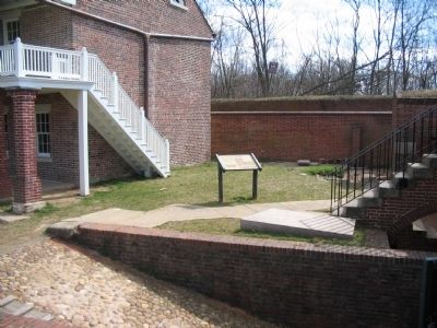
Location. 38° 42.631′ N, 77° 2.125′ W. Marker is near Fort Washington, Maryland, in Prince George's County. Marker can be reached from Fort Washington Road, on the right when traveling south. Located in Fort Washington Park, near the enlisted barracks. Touch for map. Marker is at or near this postal address: 13551 Fort Washington Road, Fort Washington MD 20744, United States of America. Touch for directions.
Other nearby markers. At least 8 other markers are within walking distance of this marker. Counterscarp Battery (a few steps from this marker); Minefields (within shouting distance of this marker); Water Battery (within shouting distance of this marker); Shot and Shell (within shouting distance of this marker); Caponiere (about 300 feet away, measured in a direct line); New Guns for an Old Fort (about 500 feet away); The Northwest Demi-Bastion (about 500 feet away); a different marker also named The Water Battery (about 600 feet away). Touch for a list and map of all markers in Fort Washington.
More about this marker. An overhead plan of the fort, on the lower left of the marker, indicates the locations of the cisterns. On the right side of the marker an illustration shows soldiers of the garrison using the hand pump to fill buckets. A fort plan in the upper right indicates the location of the marker.
Also see . . . Fort Washington. National Park Service site. (Submitted on June 1, 2008, by Craig Swain of Leesburg, Virginia.)
Credits. This page was last revised on June 16, 2016. It was originally submitted on June 1, 2008, by Craig Swain of Leesburg, Virginia. This page has been viewed 984 times since then and 23 times this year. Photos: 1, 2, 3. submitted on June 1, 2008, by Craig Swain of Leesburg, Virginia. 4, 5. submitted on September 2, 2014, by Allen C. Browne of Silver Spring, Maryland.
