St. Leonard in Calvert County, Maryland — The American Northeast (Mid-Atlantic)
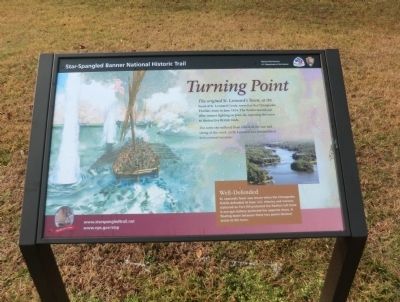
Turning Point
Star-Spangled Banner National Historic Trail
— War of 1812 —
The original St. Leonard’s Town, at the head of St. Leonard Creek, served as the Chesapeake Flotilla’s base in June 1814. The flotilla moved out after intense fighting on June 26, exposing the town to destructive British raids.
The town site suffered from effects of the war and silting of the creek, so St. Leonard was reestablished in its present location.
Well-Defended
St. Leonard’s Town was secure when the Chesapeake Flotilla defended its base. U.S. Infantry and marines stationed on Fort Hill protected the flotilla’s left flank. A one-gun battery protected the opposite shore. A floating boom between these two points blocked access to the town.
Erected by National Park Service, U.S. Department of the Interior.
Topics and series. This historical marker is listed in this topic list: War of 1812. In addition, it is included in the Star Spangled Banner National Historic Trail series list. A significant historical month for this entry is June 1814.
Location. 38° 28.311′ N, 76° 30.348′ W. Marker has been reported unreadable. Marker is in St. Leonard, Maryland, in Calvert County. Marker is on St. Leonard Road. Touch for map. Marker is in this post office area: Saint Leonard MD 20685, United States of America. Touch for directions.
Other nearby markers. At least 8 other markers are within 3 miles of this location, measured as the crow flies. The Garden of Remembrance (a few steps from this marker); The St. Leonard Polling House (within shouting distance of this marker); St. Leonard Polling House and Garden of Remembrance (about 400 feet away, measured in a direct line); St. Leonard Creek (approx. 1.6 miles away); Early Settlements (approx. 1.6 miles away); Brewhouse (approx. 1.6 miles away); Christ Church (approx. 2.3 miles away); One-Room School (approx. 2.3 miles away). Touch for a list and map of all markers in St. Leonard.

Photographed By Devry Becker Jones (CC0), September 12, 2021
2. Turning Point Marker
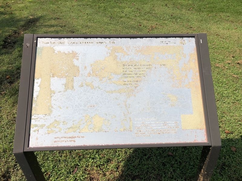
Unfortunately, the marker has weathered significantly to a point of being mostly illegible.
Credits. This page was last revised on September 13, 2021. It was originally submitted on February 17, 2015, by Don Morfe of Baltimore, Maryland. This page has been viewed 451 times since then and 14 times this year. Photos: 1. submitted on February 17, 2015, by Don Morfe of Baltimore, Maryland. 2. submitted on September 13, 2021, by Devry Becker Jones of Washington, District of Columbia. 3. submitted on February 17, 2015, by Don Morfe of Baltimore, Maryland. • Bill Pfingsten was the editor who published this page.

