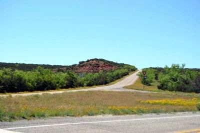
Near Silver in Coke County, Texas — The American South (West South Central)
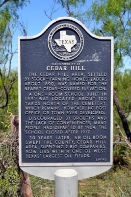
Old Community of Cedar Hill
The Cedar Hill area, settled by stock-farming homesteaders about 1890, was named for the nearby cedar-covered elevation.
A one-room school built in 1891 was located about 100 yards north of the cemetery, which remains. However, no post office or town ever developed.
Discouraged by drouths and the lack of conveniences, many people had departed by 1904. The school closed after 1917.
30 years later, an oil boom swept the county. Cedar Hill area, supplying 2 big companies, now lies within one of West Texas’ largest oil fields.
Erected 1970 by State Historical Survey Committee. (Marker Number 770.)
Topics. This historical marker is listed in these topic lists: Industry & Commerce • Settlements & Settlers. A significant historical year for this entry is 1890.
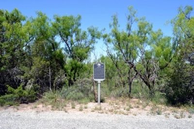
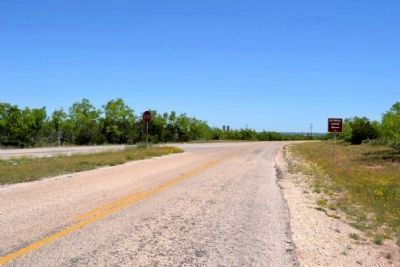
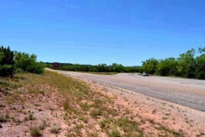
Location. 32° 0.819′ N, 100° 44.546′ W. Marker is near Silver, Texas, in Coke County. Marker is at the intersection of Ranch to Market Road 2742 and Ranch to Market Road 2059, on the right when traveling south on Road 2742. Touch for map. Marker is in this post office area: Robert Lee TX 76945, United States of America. Touch for directions.
Other nearby markers. At least 4 other markers are within 19 miles of this marker, measured as the crow flies. First Producing Oil Well (approx. 6 miles away); Silver (approx. 6 miles away); Edith (approx. 10.9 miles away); Montvale (approx. 18.2 miles away).
Credits. This page was last revised on November 2, 2020. It was originally submitted on May 8, 2015, by Duane Hall of Abilene, Texas. This page has been viewed 403 times since then and 23 times this year. Photos: 1, 2, 3, 4, 5. submitted on May 8, 2015, by Duane Hall of Abilene, Texas.
