Bowling Green in Warren County, Kentucky — The American South (East South Central)
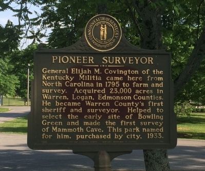
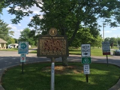
Pioneer Surveyor
Erected 1968 by the Kentucky Historical Society, Kentucky Department of Highways. (Marker Number 1191.)
Topics and series. This historical marker is listed in these topic lists: Exploration • Settlements & Settlers. In addition, it is included in the Kentucky Historical Society series list. A significant historical year for this entry is 1795.
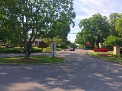
Location. 36° 58.773′ N, 86° 26.15′ W. Marker is in Bowling Green, Kentucky, in Warren County. Marker is at the intersection of Covington Street and East 11th Avenue on Covington Street. Touch for map. Marker is at or near this postal address: 1040 Covington Street, Bowling Green KY 42103, United States of America. Touch for directions.
Other nearby markers. At least 8 other markers are within walking distance of this marker. T. C. Cherry Elementary (approx. 0.6 miles away); Fort C. F. Smith (approx. 0.6 miles away); Lillian H. South (approx. ¾ mile away); College Hill (approx. ¾ mile away); Eliza Calvert Hall, 1856-1935 (approx. 0.8 miles away); Bowling Green (approx. 0.9 miles away); Ogden College (approx. 0.9 miles away); Turpin Building (approx. 0.9 miles away). Touch for a list and map of all markers in Bowling Green.
Credits. This page was last revised on June 16, 2016. It was originally submitted on May 17, 2015, by Mark Hilton of Montgomery, Alabama. This page has been viewed 423 times since then and 31 times this year. Photos: 1, 2, 3, 4. submitted on May 17, 2015, by Mark Hilton of Montgomery, Alabama.


