Near Liberty in Casey County, Kentucky — The American South (East South Central)
John Fry
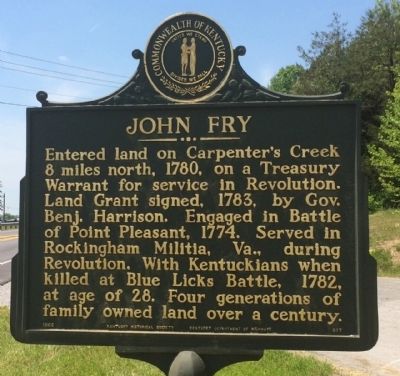
Entered land on Carpenter's Creek 8 miles north, 1780, on a Treasury Warrant for service in Revolution. Land Grant signed, 1783, by Gov. Benj. Harrison. Engaged in Battle of Point Pleasant, 1774. Served in Rockingham Militia, Va., during Revolution. With Kentuckians when killed at Blue Licks Battle, 1782, at age of 28. Four generations of family owned land over a century.
Erected 1966 by the Kentucky Historical Society, Kentucky Department of Highways. (Marker Number 917.)
Topics and series. This historical marker is listed in these topic lists: Settlements & Settlers • War, US Revolutionary. In addition, it is included in the Kentucky Historical Society series list. A significant historical year for this entry is 1780.
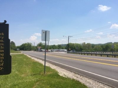
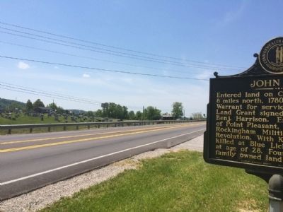
Location. 37° 19.637′ N, 84° 55.153′ W. Marker is near Liberty, Kentucky, in Casey County. Marker is at the intersection of U.S. 127 and State Route 817 on U.S. 127. Located at a roadside park. Touch for map. Marker is at or near this postal address: US Highway 127, Liberty KY 42539, United States of America. Touch for directions.
Other nearby markers. At least 8 other markers are within 11 miles of this marker, measured as the crow flies. The Liberty Bell (approx. 1.2 miles away); Casey County War Memorial (approx. 1.3 miles away); First Kentucky Cavalry (approx. 1.3 miles away); Colonel Silas Adams (approx. 1.3 miles away); Casey County Courthouse (approx. 1.3 miles away); Dedicated to the Memory of General Christopher Riffe (approx. 5˝ miles away); 1st KY Cavalry Beginning (approx. 9.1 miles away); Utah School (approx. 10.1 miles away). Touch for a list and map of all markers in Liberty.
Also see . . . Blue Licks Battlefield State Resort Park. Kentucky State Parks website entry (Submitted on May 19, 2015, by Mark Hilton of Montgomery, Alabama.)
Credits. This page was last revised on December 17, 2023. It was originally submitted on May 19, 2015, by Mark Hilton of Montgomery, Alabama. This page has been viewed 716 times since then and 57 times this year. Photos: 1, 2, 3. submitted on May 19, 2015, by Mark Hilton of Montgomery, Alabama.


