Hurricane in Washington County, Utah — The American Mountains (Southwest)
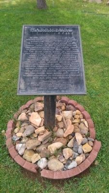
Harrisburg
Matt Warner Chapter 1900 and
Billy Holcomb Chapter 1069
E Clampus Vitus
March 21, 1999 (6004)
Erected 1999 by Matt Warner Chapter No. 1900 and Billy Holcomb Chapter No, 1069, E Clampus Vitus. (Marker Number 97.)
Topics and series. This historical marker is listed in this topic list: Settlements & Settlers. In addition, it is included in the E Clampus Vitus series list. A significant historical month for this entry is March 1832.
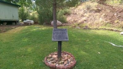
Location. 37° 12.36′ N, 113° 23.6′ W. Marker is in Hurricane, Utah, in Washington County. Marker is on Utah Route 91, on the right when traveling north. Marker is located approximately 150 feet inside the St. George RV Resort. Touch for map. Marker is in this post office area: Hurricane UT 84737, United States of America. Touch for directions.
Other nearby markers. At least 8 other markers are within 3 miles of this marker, measured as the crow flies. Harrisburg Historic Pioneer Cemetery (about 400 feet away, measured in a direct line); Harrisburg/ Harrisburg Residents (about 500 feet away); "They Were Poor, Hungry, and They Built to Last" (approx. 2.4 miles away); Civilian Conservation Corps, Leeds, Utah (approx. 2.4 miles away); Leeds CCC Camp (approx. 2.4 miles away); Leeds Historic CCC Camp (approx. 2.4 miles away); The Sarah Ann and William Stirling Home (approx. 2.7 miles away); From Native American Trail to Interstate Exit (approx. 2.7 miles away).
Also see . . .
1. Moses Harris: Utah Pioneer and Man of God. Moses Harris, the subject of this sketch, was born July 20th, 1798, in Somerset County Pennsylvania. He was the son of Silas and Annaretta Wright Harris. His Ancestor was among the first of New England. (Submitted on July 6, 2015, by Michael Kindig of Elk Grove, California.)
2. Moses Harris (20 Jul 1798 - 15 Mar 1890). (Submitted on July 6, 2015, by Michael Kindig of Elk Grove, California.)
Credits. This page was last revised on June 16, 2016. It was originally submitted on July 6, 2015, by Michael Kindig of Elk Grove, California. This page has been viewed 450 times since then and 15 times this year. Photos: 1, 2. submitted on July 6, 2015, by Michael Kindig of Elk Grove, California. • Andrew Ruppenstein was the editor who published this page.

