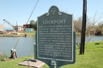
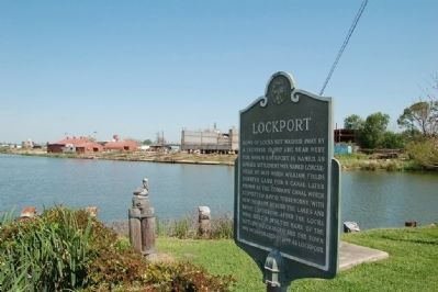
Lockport in Lafourche Parish, Louisiana — The American South (West South Central)
Lockport
Erected by Lafourche Historical Society.
Topics. This historical marker is listed in this topic list: Settlements & Settlers. A significant historical year for this entry is 1917.
Location. 29° 38.854′ N, 90° 32.357′ W. Marker is in Lockport, Louisiana, in Lafourche Parish. Marker is at the intersection of Canal Street and Main Street, on the left when traveling east on Canal Street. Touch for map. Marker is in this post office area: Lockport LA 70374, United States of America. Touch for directions.
Other nearby markers. At least 8 other markers are within 10 miles of this marker, measured as the crow flies. Holy Savior Cemetery (approx. 0.3 miles away); Clotilda Plantation (approx. 1.7 miles away); Bouverans Plantation House (approx. 2.2 miles away); First American Casualty Of WW II (approx. 4.6 miles away); Vacherie-Gheens (approx. 4.9 miles away); St. Mary's Nativity Church (approx. 8 miles away); St. Mary's Cemetery (approx. 8 miles away); Baudoin - Foret School (approx. 9.6 miles away). Touch for a list and map of all markers in Lockport.
Credits. This page was last revised on April 29, 2022. It was originally submitted on July 13, 2015. This page has been viewed 640 times since then and 46 times this year. Photos: 1, 2. submitted on July 13, 2015, by Cajun Scrambler of Assumption, Louisiana. • Bernard Fisher was the editor who published this page.
Editor’s want-list for this marker. Straight on photo of marker. • Can you help?

