Baton Rouge in East Baton Rouge Parish, Louisiana — The American South (West South Central)
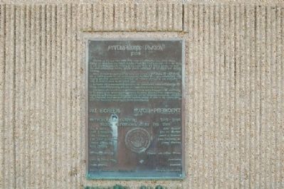
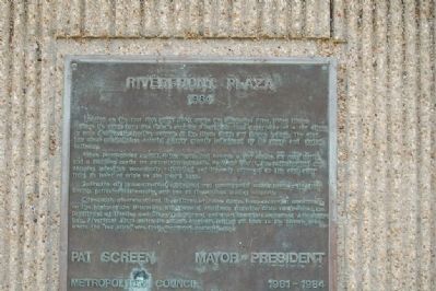
Riverfront Plaza
1984
When incorporated in 1817, Baton Rouge had become a way station for river traffic and a fledgling center for agricultural interests. By World War II, the petrochemical and shipping industries were firmly established and the city expanded to the east, away from its point of orgin on the river's bank.
Today, the city is a commercial, educational and governmental center heading the Deep South's petrochemical corridor, and one of the nation's leading seaports.
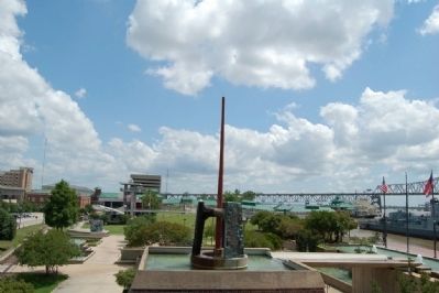
City Parish government and the citizens of Baton Rouge have created a renaissance on the banks of the Mississippi with financial assistance from the State of Louisiana, the Department of Housing and Urban Development and the Economic Development Administration. Riverfront Plaza unites its various elements inviting all back to the historic area where the "red stick" was first discovered centuries ago.
Erected 1984.
Topics. This historical marker is listed in this topic list: Settlements & Settlers. A significant historical year for this entry is 1699.
Location. 30° 26.703′ N, 91° 11.439′ W. Marker is in Baton Rouge, Louisiana, in East Baton Rouge Parish. Marker can be reached from South River Road, 0.1 miles north of Government Street (Louisiana Highway 73), on the right when traveling south. Touch for map. Marker is in this post office area: Baton Rouge LA 70802, United States of America. Touch for directions.
Other nearby markers. At least 8 other markers are within walking distance of this marker. The D'Artaguiette Concession (within shouting distance of this marker); The Founding of "Red Stick" (within shouting distance of this marker); Johnny Rivers (within shouting distance of this marker); USS Kidd KIA Memorial (about 400 feet away, measured in a direct line); USS Kidd Veterans Museum & Ship (about 400 feet away); Louisiana Vietnam War Memorial (about 400 feet away); A-7E Corsair II (about 400 feet away); Purple Heart Ship (about 400 feet away). Touch for a list and map of all markers in Baton Rouge.
Credits. This page was last revised on June 16, 2016. It was originally submitted on July 22, 2015. This page has been viewed 415 times since then and 20 times this year. Photos: 1, 2, 3. submitted on July 22, 2015. • Bernard Fisher was the editor who published this page.
Editor’s want-list for this marker. A wide view photo of the marker and the surrounding area in context. • Can you help?


