Near East Side in San Antonio in Bexar County, Texas — The American South (West South Central)
The Dawson Massacre
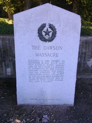
Photographed by Lee Hattabaugh, July 15, 2015
1. The Dawson Massacre Marker
Erected 1936 by the State of Texas. (Marker Number 1182.)
Topics and series. This historical marker is listed in these topic lists: Patriots & Patriotism • War, Texas Independence. In addition, it is included in the Texas 1936 Centennial Markers and Monuments series list. A significant historical month for this entry is September 1846.
Location. 29° 29.976′ N, 98° 25.359′ W. Marker is in San Antonio, Texas, in Bexar County. It is in the Near East Side. It is at the intersection of Austin Highway (State Highway 368) and Corrine Drive, on the right when traveling south on Austin Highway. Touch for map. Marker is at or near this postal address: 1799 Austin Highway, San Antonio TX 78218, United States of America. Touch for directions.

Regionally, this marker is in South Texas. It is also in the American
this page online
Other nearby markers. At least 8 other markers are within 2 miles of this marker, measured as the crow flies: Dawson Massacre Memorial (here, next to this marker); The Battle of the Salado (approx. 0.8 miles away); Airmen of the United States Air Force (approx. 1½ miles away); National Sojourners, Inc. and Alamo Camp Heroes of ’76 (approx. 1½ miles away); Americal Division, 23rd Infantry Division (approx. 1½ miles away); Navy Seabees (approx. 1½ miles away); All Airborne Forces (approx. 1½ miles away); Dodd Field (Fort Sam Houston) Enemy Alien Detention Station, World War II (approx. 1½ miles away). Touch for a list and map of all markers in San Antonio.
Additional commentary.
1. Marker Location
I was told by the curator at Fort Sam Houston's museum that this is not the original location of this marker.
— Submitted July 23, 2015, by Lee Hattabaugh of Capshaw, Alabama.
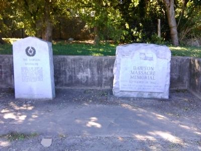
Photographed by Lee Hattabaugh, July 15, 2015
2. The Dawson Massacre Marker
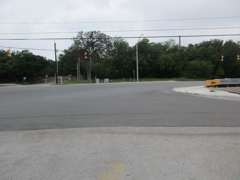
Photographed by Jeff Leichsenring, May 17, 2026
3. The Dawson Massacre Marker

Photographed by Hannah Castellaw, April 27, 2025
4. The Dawson Massacre Marker
Zadock Woods - my 5th great grandfather -killed
Milvern Harrell - my 3rd great grandfather - imprisoned in Perote
Credits. This page was last revised on May 27, 2026. It was originally submitted on July 23, 2015, by Lee Hattabaugh of Capshaw, Alabama. This page has been viewed 6,015 times since then and 285 times this year. Photos: 1, 2. submitted on July 23, 2015, by Lee Hattabaugh of Capshaw, Alabama. 3. submitted on May 19, 2026, by Jeff Leichsenring of Garland, Texas. 4. submitted on May 21, 2026, by Hannah Castellaw of San Antonio, Texas. • Bernard Fisher was the editor who published this page.
