Sackets Harbor in Jefferson County, New York — The American Northeast (Mid-Atlantic)
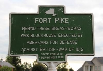
Fort Pike
Behind These Breastworks
Was Blockhouse Erected by
Americans for Defense
Against British - War of 1812
Erected 1939 by State Education Department.
Topics. This historical marker is listed in these topic lists: Forts and Castles • War of 1812. A significant historical year for this entry is 1812.
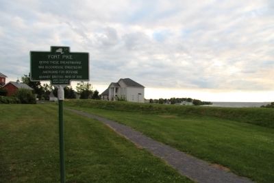
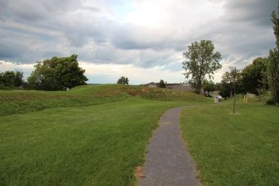
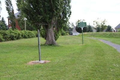
Location. 43° 57.102′ N, 76° 6.796′ W. Marker is in Sackets Harbor, New York, in Jefferson County. Marker can be reached from Pike Road west of Backus Road, on the right when traveling west. This marker is located along a walk way, that runs along the side of the remaining earthworks of Fort Pike, the fortification earthworks that were erected along the lake front. Touch for map. Marker is in this post office area: Sackets Harbor NY 13685, United States of America. Touch for directions.
Other nearby markers. At least 8 other markers are within walking distance of this marker. Fort Volunteer (a few steps from this marker); a different marker also named Fort Pike (within shouting distance of this marker); War of 1812, Burial Grounds (within shouting distance of this marker); War of 1812, Burial Ground Memorial (within shouting distance of this marker); Madison Barracks (about 500 feet away, measured in a direct line); Water Tower Observation Tower (approx. 0.2 miles away); In Memory of Our Comrades (approx. 0.2 miles away); Semper Fidelis (approx. 0.2 miles away). Touch for a list and map of all markers in Sackets Harbor.
Credits. This page was last revised on June 16, 2016. It was originally submitted on July 25, 2015, by Dale K. Benington of Toledo, Ohio. This page has been viewed 418 times since then and 12 times this year. Photos: 1, 2, 3, 4. submitted on July 25, 2015, by Dale K. Benington of Toledo, Ohio.


