Near Pyote in Ward County, Texas — The American South (West South Central)
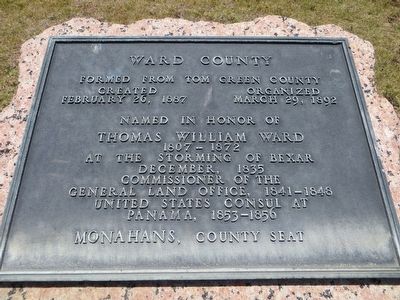
Ward County
created February 26, 1887
organized March 29, 1892
Named in honor of
Thomas William Ward
1807-1872
At the storming of Bexar
December, 1835
Commissioner of the
General Land Office, 1841-1848
United States consul at
Panama, 1853-1856
Monahans, County Seat
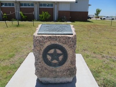
Erected 1936 by Texas Highway Department. (Marker Number 5715.)
Topics and series. This historical marker is listed in this topic list: Settlements & Settlers. In addition, it is included in the Texas 1936 Centennial Markers and Monuments series list. A significant historical date for this entry is February 26, 1887.
Location. 31° 32.291′ N, 103° 4.048′ W. Marker is near Pyote, Texas, in Ward County. Marker is on Interstate 20 at milepost 69, on the right when traveling east. Marker is in roadside rest area on eastbound I-20 about 4.5 miles east of Pyote. Touch for map. Marker is in this post office area: Pyote TX 79777, United States of America. Touch for directions.
Other nearby markers. At least 6 other markers are within 11 miles of this marker, measured as the crow flies. 381st Bomb Group (H) B17 (approx. 3.8 miles away); Rattlesnake Bomber Base (approx. 3.8 miles away); Willow Springs (approx. 9.2 miles away); Old Holman Hotel (approx. 11 miles away); Monahan's Well (approx. 11 miles away); Christ The King Catholic Church (approx. 11 miles away).
Credits. This page was last revised on June 16, 2016. It was originally submitted on August 10, 2015, by Bill Kirchner of Tucson, Arizona. This page has been viewed 384 times since then and 6 times this year. Photos: 1, 2, 3. submitted on August 10, 2015, by Bill Kirchner of Tucson, Arizona.


