Fort Laramie in Goshen County, Wyoming — The American West (Mountains)
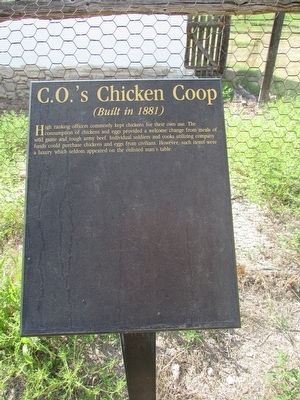
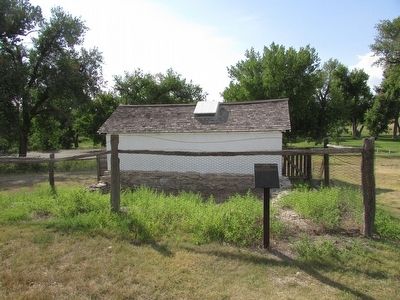
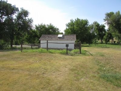
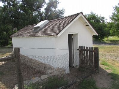
C.O.ís Chicken Coop
(Built in 1881)
High ranking officers commonly kept chickens for their own use. The consumption of chickens and eggs provided a welcome change from meals of wild game and tough army beef. Individual soldiers and cooks utilizing company funds could purchase chickens and eggs from civilians. However, such items were a luxury which seldom appeared on the enlisted manís table.
Erected by National Park Service.
Topics. This historical marker is listed in this topic list: Forts and Castles.
Location. 42° 12.162′ N, 104° 33.545′ W. Marker is in Fort Laramie, Wyoming, in Goshen County. Marker can be reached from State Highway 160, on the left when traveling west. Marker is located at Fort Laramie National Historic Site. Touch for map. Marker is in this post office area: Fort Laramie WY 82212, United States of America. Touch for directions.
Other nearby markers. At least 8 other markers are within walking distance of this marker. Officers Quarters (within shouting distance of this marker); John (Portugee) Phillips (within shouting distance of this marker); Refinement at Fort Laramie (about 300 feet away, measured in a direct line); Magazine (about 300 feet away); Infantry Barracks (about 400 feet away); ďOfficers RowĒ (about 400 feet away); Captainís Quarters (about 400 feet away); Old Bedlam (about 500 feet away). Touch for a list and map of all markers in Fort Laramie.
Also see . . . Fort Laramie National Historic Site. (Submitted on August 11, 2015, by Bill Coughlin of Woodland Park, New Jersey.)
Credits. This page was last revised on June 16, 2016. It was originally submitted on August 11, 2015, by Bill Coughlin of Woodland Park, New Jersey. This page has been viewed 322 times since then and 12 times this year. Photos: 1, 2, 3, 4. submitted on August 11, 2015, by Bill Coughlin of Woodland Park, New Jersey.


