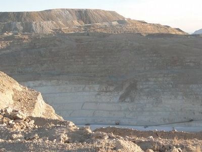
Near Round Mountain in Nye County, Nevada — The American Mountains (Southwest)
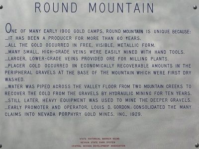
Round Mountain
...It has been a producer for more than 60 years.
...All the gold occurred in free, visible, metallic form.
...Many small, high-grade veins were easily mined with hand tools.
...Larger, lower-grade veins provided ore for milling plants.
...Placer gold occurred in economically recoverable amounts in the peripheral gravels at the base of the mountain which were first dry washed.
...Water was piped across the valley floor from two mountain creeks to recover the gold from the gravels by hydraulic mining for ten years.
...Still later, heavy equipment was used to mine the deeper gravels.
...Early promoter and operator, Louis D. Gordon considered the many claims into Nevada Porphyry Gold Mines, Inc., 1929.
Erected by Nevada State Park System. Central Nevada Development Association. (Marker Number 96.)
Topics. This historical marker is listed in these topic lists: Industry & Commerce • Natural Resources • Settlements & Settlers.
Location. 38° 43.594′ N, 117° 6.899′ W. Marker is near Round Mountain, Nevada, in Nye County. Marker is on U.S. 376, on the left when traveling north. Touch for map. Marker is in this post office area: Round Mountain NV 89045, United States of America. Touch for directions.
Other nearby markers. At least 3 other markers are within 14 miles of this marker, measured as the crow flies. Big Smoky Valley (approx. 5.1 miles away); Manhattan - "The Pine Tree Camp" (approx. 11.2 miles away); John C. Humphrey (approx. 13.1 miles away).
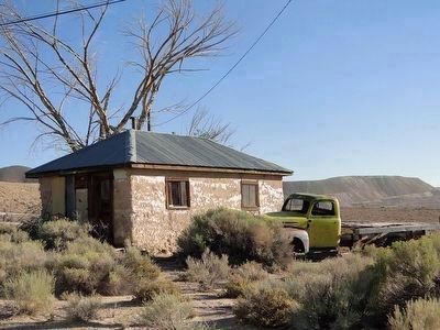
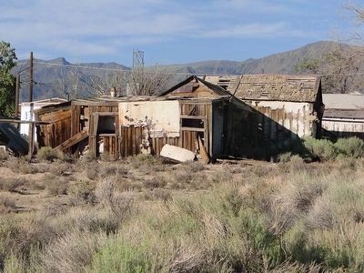
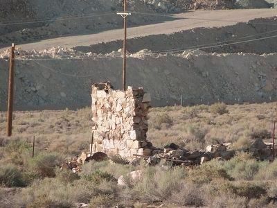
Regarding Round Mountain. The old town of Round Mountain is several miles east of here, behind the huge open pit mine operation.
Also see . . . Rround Mountain - Nevada Ghost Town. History of the area including photos. (Submitted on October 11, 2015.)
Credits. This page was last revised on June 16, 2016. It was originally submitted on October 8, 2015, by Trev Meed of Round Mountain, Nevada. This page has been viewed 280 times since then and 18 times this year. Photos: 1. submitted on October 8, 2015, by Trev Meed of Round Mountain, Nevada. 2, 3, 4, 5. submitted on October 10, 2015, by Trev Meed of Round Mountain, Nevada. • Syd Whittle was the editor who published this page.
Editor’s want-list for this marker. Wide area view of the marker and its surroundings. • Can you help?
