Columbia County Courthouse
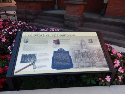
(Inscription below the portrait in the upper left)
Napoleon LeBrun, Architect
(Inscription beside the photo in the center left)
A Bloomsburg Pioneer-Daniel Snyder came to town and starting with very little except determination, he borrowed money to buy 26 acres of land and build a thriving tannery in 1806. He also built a 2-story home that later became the Forks Hotel, which stood from
this page online
(Inscription beside the image in the lower left)
The Susquehannock Indians were the first occupants of the Susquehanna River Valley, leaving a legacy of colorful town names such as Catwissa, Nescopeck and Shickshinny.
(Inscription beside the image in the upper center)
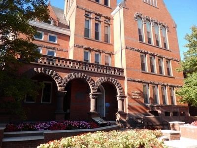
A Romanesque Revival Style-The courthouse design was created using a Romanesque Revival Style with Henry Hobson Richardson’s influence; brick and brown Hummelstown stone, galvanized iron cornices, rounded arches, open balcony window arcades, intricate foliage carvings and short columns. Look up at the courthouse columns and you’ll see beautiful carvings of leaves and flowers. They were influenced by the Henry Hobson Richardson design style.
Erected by Columbia County Commonwealth of Pennsylvania.
Topics. This historical marker is listed in these topic lists: Industry & Commerce • Settlements & Settlers. A significant historical year for this entry is 1848.
Location. 41° 0.183′ N,
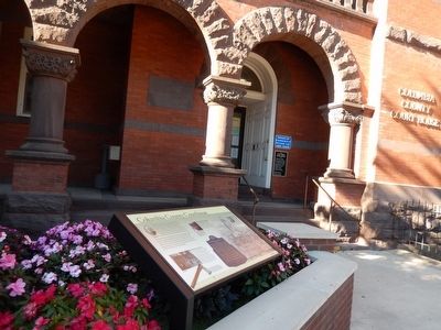

Regionally, this marker is in Pennsylvania’s Anthracite Coal Region and in the Susquehanna Valley. It is also in the American Northeast, in the Mid-Atlantic, in Appalachia, and specifically in Northern Appalachia. Globally, it is in North America, the Western Hemisphere, the Western World, and the Anglosphere. Historically, it finds itself in what was once the Haudenosaunee (Iroquois) Confederacy and also one of the original Thirteen Colonies.
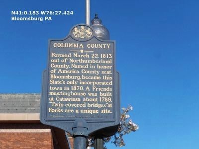
Other nearby markers. At least 8 other markers are within walking distance of this marker: Columbia County (here, next to this marker); Pursel Store Building (within shouting distance of this marker); Columbia County Civil War Memorial (about 300 feet away, measured in a direct line); 225 Market Street (about 300 feet away); 235 Market Street (about 400 feet away); 100-106 West Main Street (about
Credits. This page was last revised on June 16, 2016. It was originally submitted on October 23, 2015, by Don Morfe of Baltimore, Maryland. This page has been viewed 596 times since then and 31 times this year. Photos: 1, 2, 3, 4. submitted on October 23, 2015, by Don Morfe of Baltimore, Maryland. • Bill Pfingsten was the editor who published this page.
