Amana History
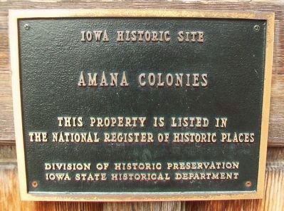
Iowa Historic Site
This property is listed in
the National Register
of Historic Places
————————
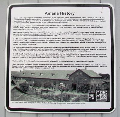
Members of a religious group known as the "Community of True Inspiration" began settlement of the Amana Colonies in July 1855. This Christian sect originated in Germany in 1714 and advocated a simple form of worship, Bible study, and a belief that God still communicates His will through chosen instruments or Werkzeuge, when inspired, delivered testimonies that admonished the faithful to be more fervent in their worship and to lead lives of simplicity and humility.
Facing increasing religious persecution and economic hardship in their native Germany, the Inspirationists, under the leadership of Christian Metz (1793-1867), immigrated to the United States in 1842-1846, settling on a 5,000 acre tract of land on the former Buffalo Creek Indian Reservation near Buffalo, New York.
As a financial necessity, the members pooled their resources and used a common fund to pay for the passage of poorer members from Germany, to purchase land and equipment, and to construct six villages on their New York and, later, Canadian lands. Originally a temporary measure, communal living was adopted permanently in 1846.
In 1854, seeking
a home removed from the worldly influences of Buffalo, the Inspirationists sent a scouting party to Kansas and, later, to Iowa. In June 1855, a second party came here and began to purchase what eventually became a 26,000 acre tract of land. From 1855-1864 the Ebenezer lands were sold and the members relocated to the new site, which was named "Amana," a term from the Song of Solomon 4:8 that signifies "remain true."The group established seven villages, each in the center of its own farm. Each village had its own church, school, bakery and blacksmith shop. Factories that produced calico fabric and woolens were located in Amana and Middle Amana. These items were sold on the outside market and provided income for the community. Members worked at assigned jobs and ate in communal kitchens.
By 1932, the effects of the Great Depression, the dissatisfaction of youth, and the inefficiencies of the communal system, led community members to vote to reorganize the Society as a joint stock corporation. Members of the new Amana Society received stock in the corporation which continued to manage the farms and businesses of the old Society.
The Amana Church Society was formed to oversee the religious life of the Inspirationists as the Amana Church Society.
Today, the Amana Villages are home to descendants of the original settlers, and to families who have moved here since 1932.
The Amana Society continues to manage many businesses, but other shops and businesses are privately owned, as are most residences. The Amana Church Society continues to hold religious services each week.
Topics. This historical marker is listed in these topic lists: Churches & Religion • Settlements & Settlers. A significant historical month for this entry is July 1855.
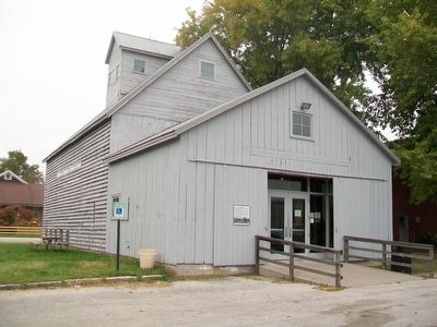
Location. 41° 47.998′ N, 91° 52.078′ W. Marker is in Amana, Iowa, in Iowa County. Marker is at the intersection of 220th Trail and 46th Avenue, on the right when traveling west on 220th Trail. Marker is at the Amana Colonies Visitor Center. Touch for map. Marker is at or near this postal address: 222 46th Avenue, Amana IA 52203, United States of America. Touch for directions.
Other nearby markers. At least 8 other markers are within walking distance of this marker. Wohn Haus (about 300 feet away, measured in a direct line); Ackermann Residence (about 500 feet away); Wash House and Woodshed (about 800 feet away); Amana General Store (approx. 0.2 miles away); The Wickery (approx. 0.2 miles away); Ronneburg Restaurant (approx. 0.2 miles away); Amana Colonies (approx. ¼ mile away); Amana Woolen Mill (approx. ¼ mile away). Touch for a list and map of all markers in Amana.
Also see . . .
1. Amana Colonies. Website homepage (Submitted on November 2, 2015, by William Fischer, Jr. of Scranton, Pennsylvania.)
2. The History of Amana

Click for more information.
Credits. This page was last revised on November 30, 2021. It was originally submitted on November 1, 2015, by William Fischer, Jr. of Scranton, Pennsylvania. This page has been viewed 352 times since then and 15 times this year. Photos: 1, 2, 3. submitted on November 2, 2015, by William Fischer, Jr. of Scranton, Pennsylvania. 4. submitted on November 30, 2021, by Larry Gertner of New York, New York.


